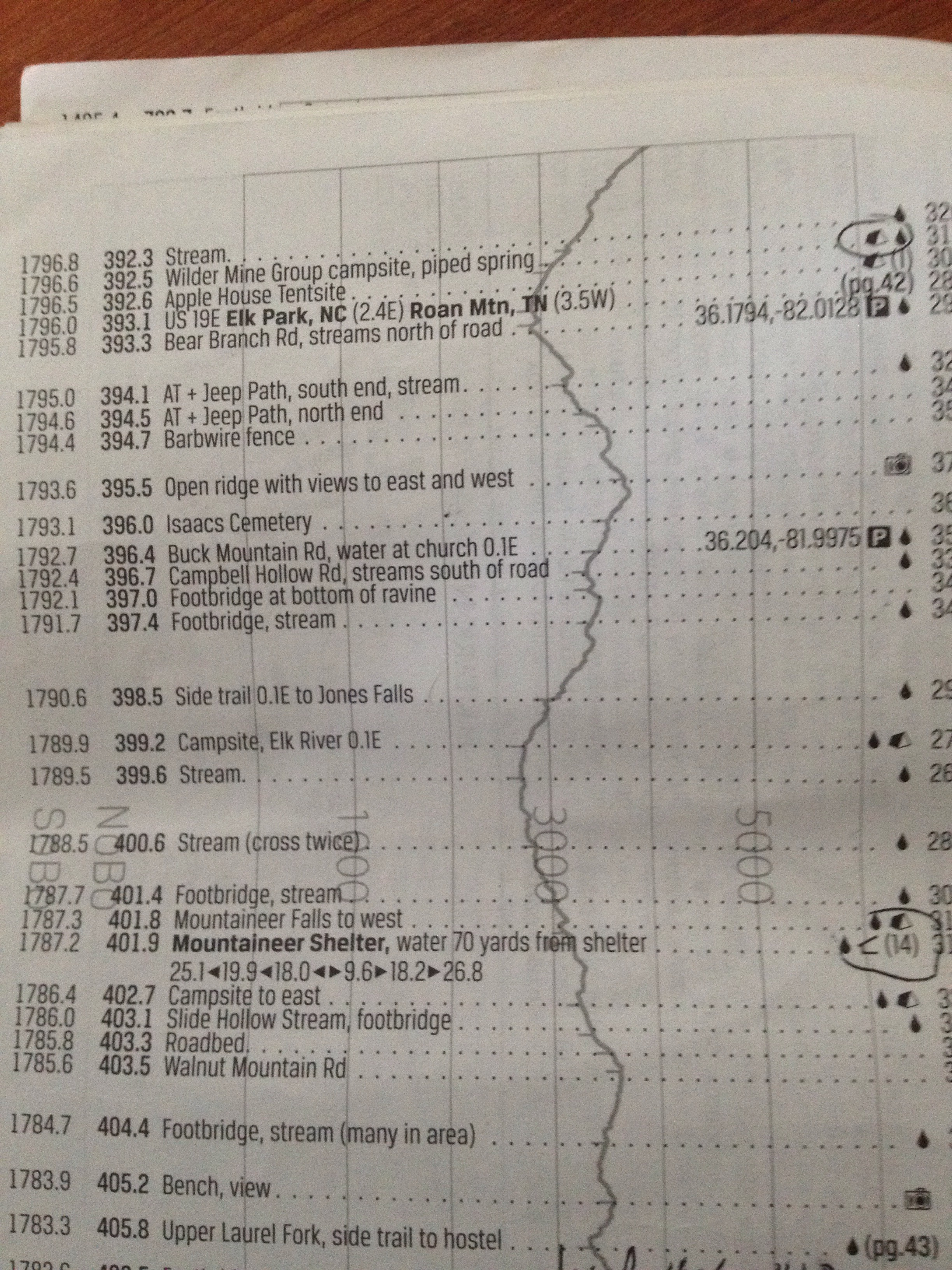
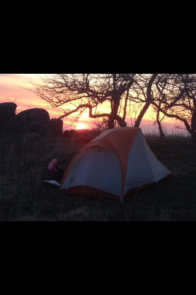
Back on the trail

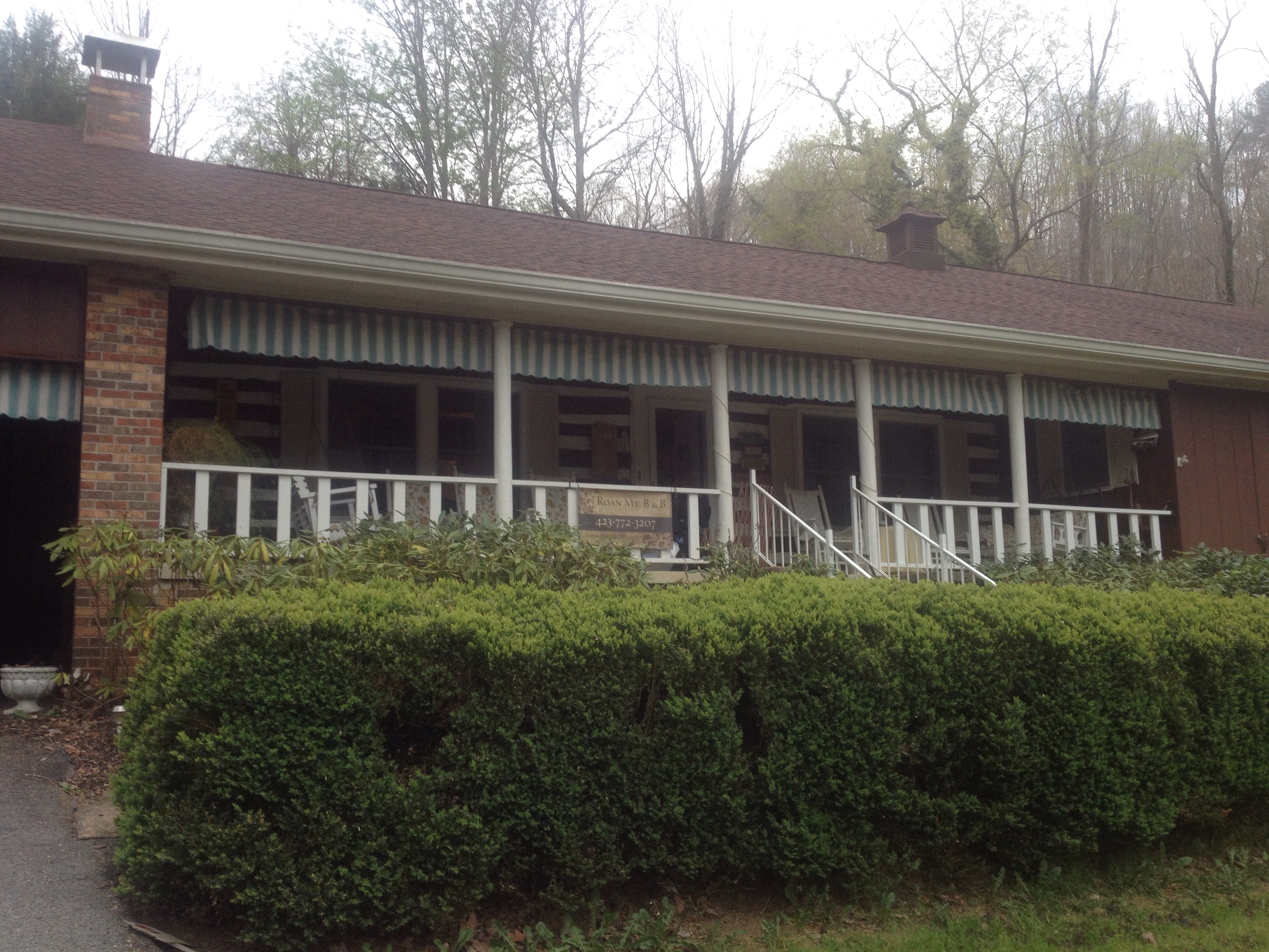
I’ve returned to the Roan Mountain B&B and hope to hit the trail tomorrow – rested and fattened up. My brother Tim devised a diet for me to manage my trail hunger for the last few days. It’s a bit of a “front loaded” system called the 3-2-1 diet. You eat 3 breakfasts, two lunches, and one dinner – seemed to work quite well.

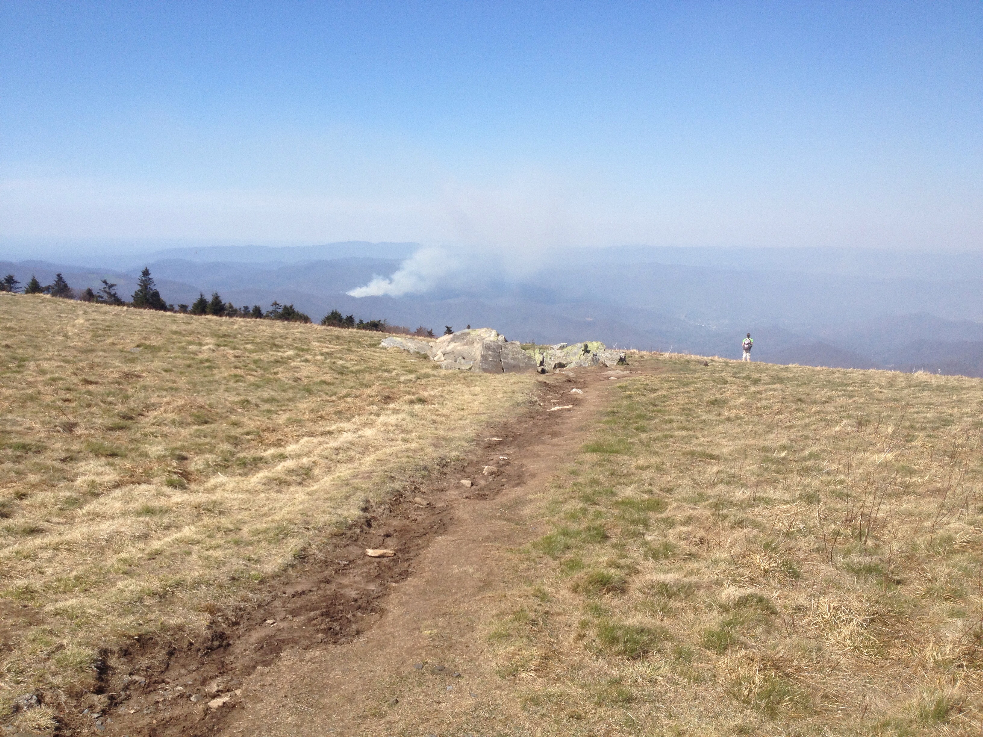
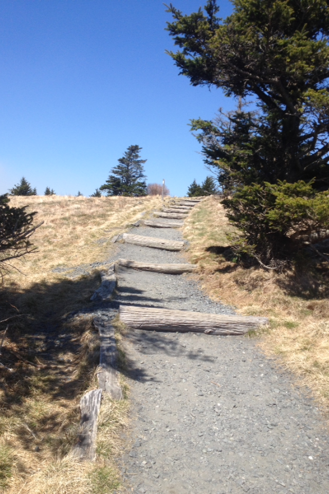
The trail is reportedly reopened so I’ll be curious to see the results of the fire.

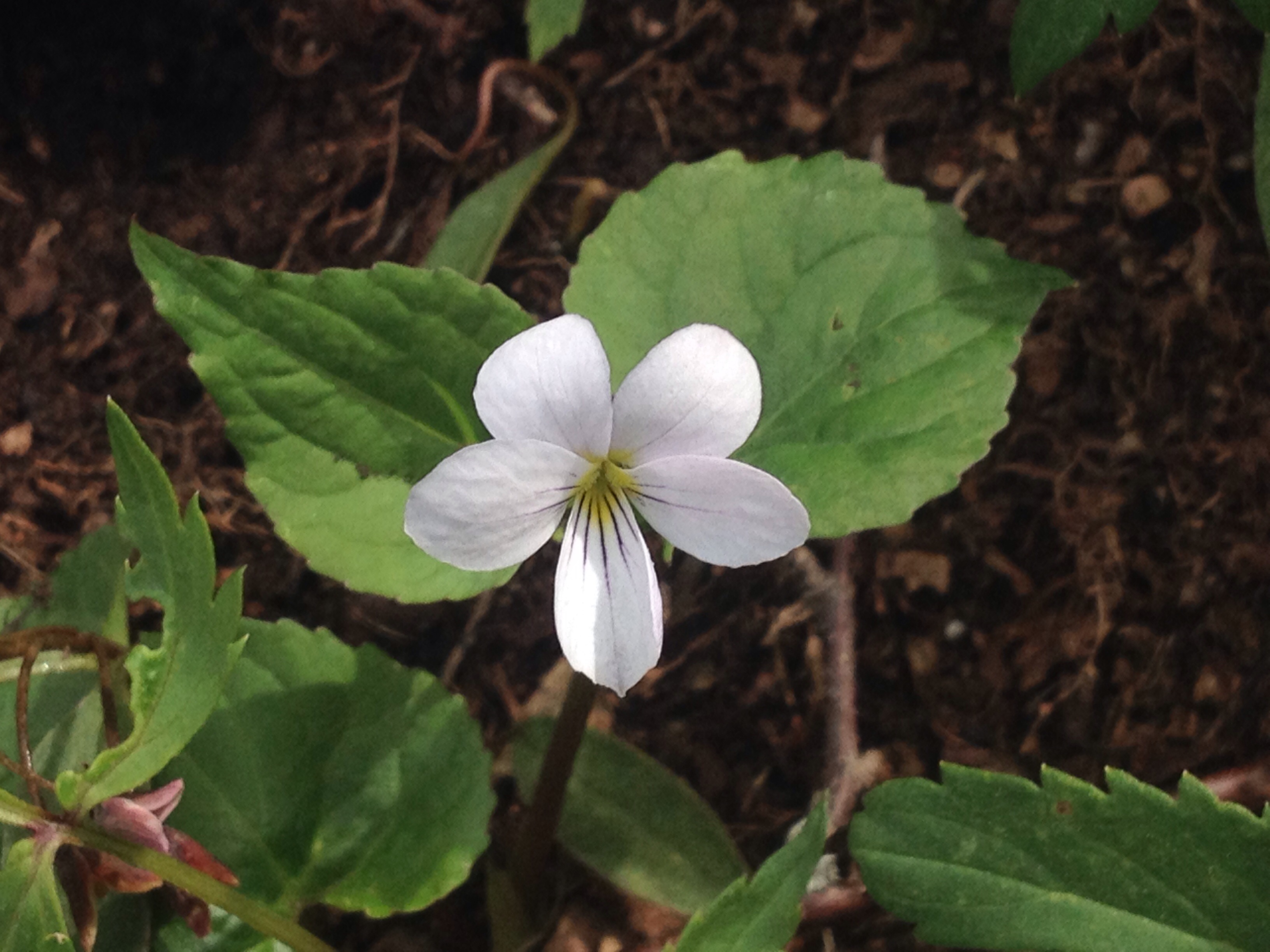
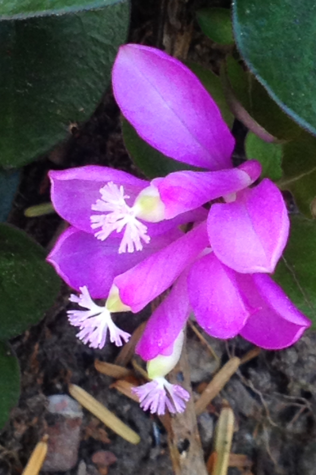
While at the B&B I found a great flower book:


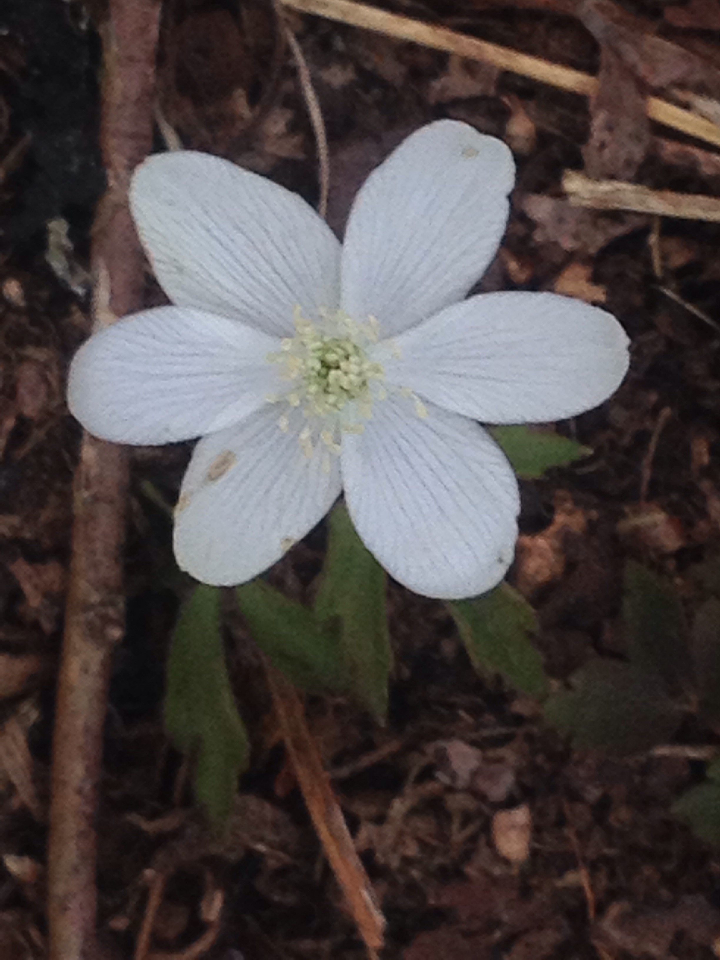
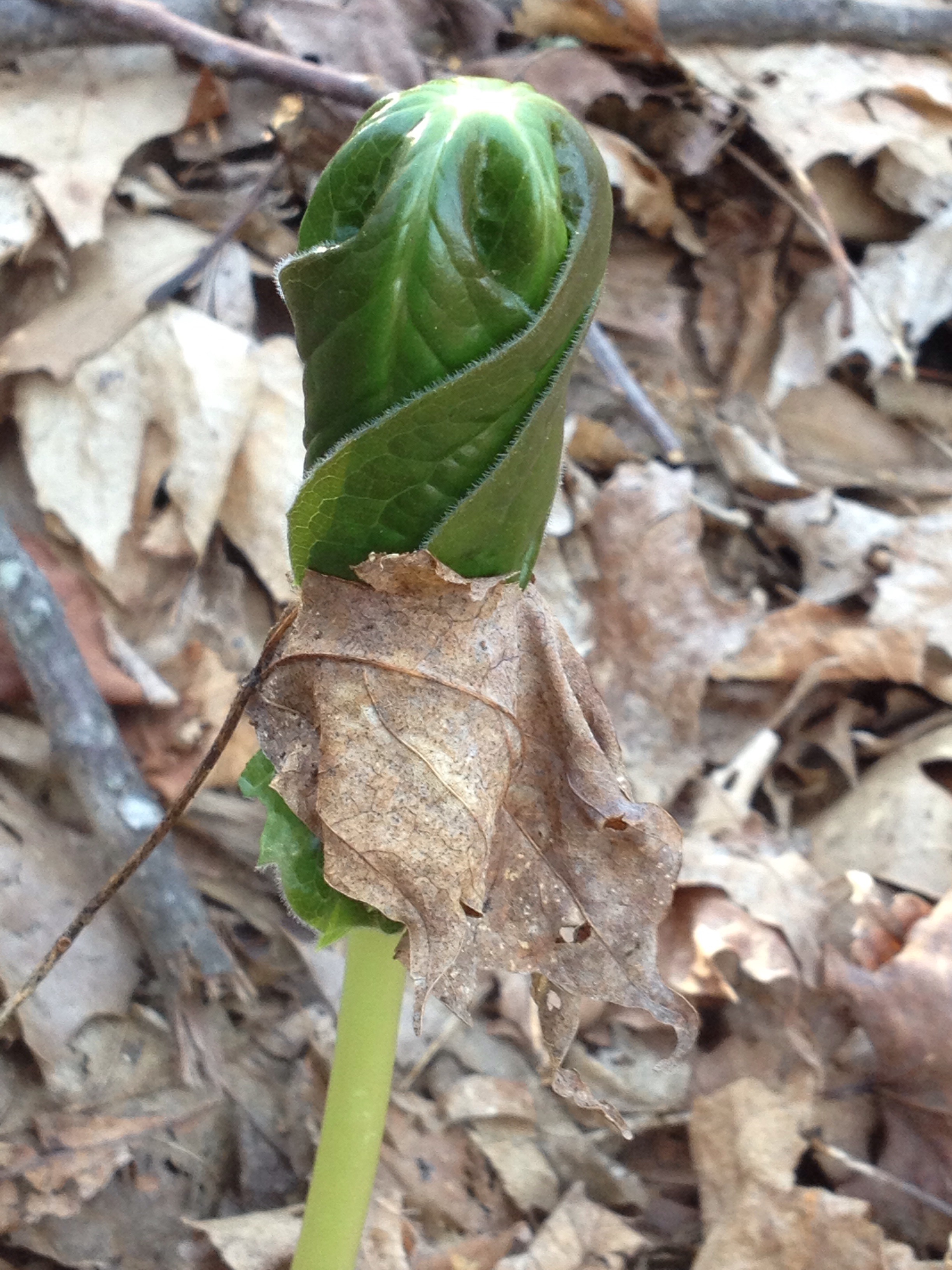
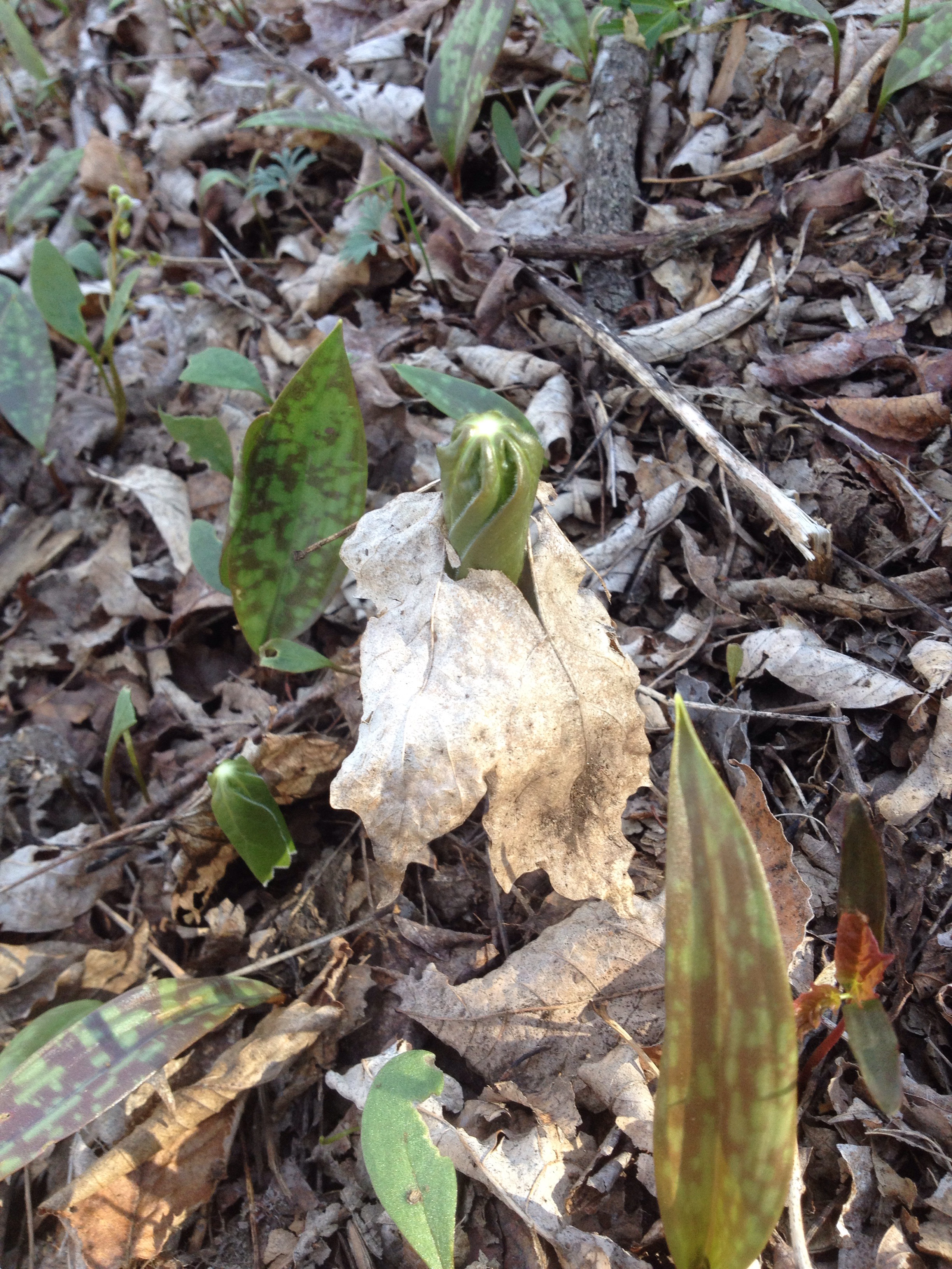
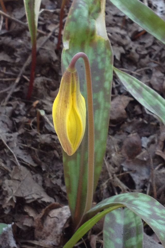
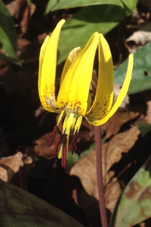
Helped me identify a couple recently photographed flowers:

 Shuttleworth’s Ginger:
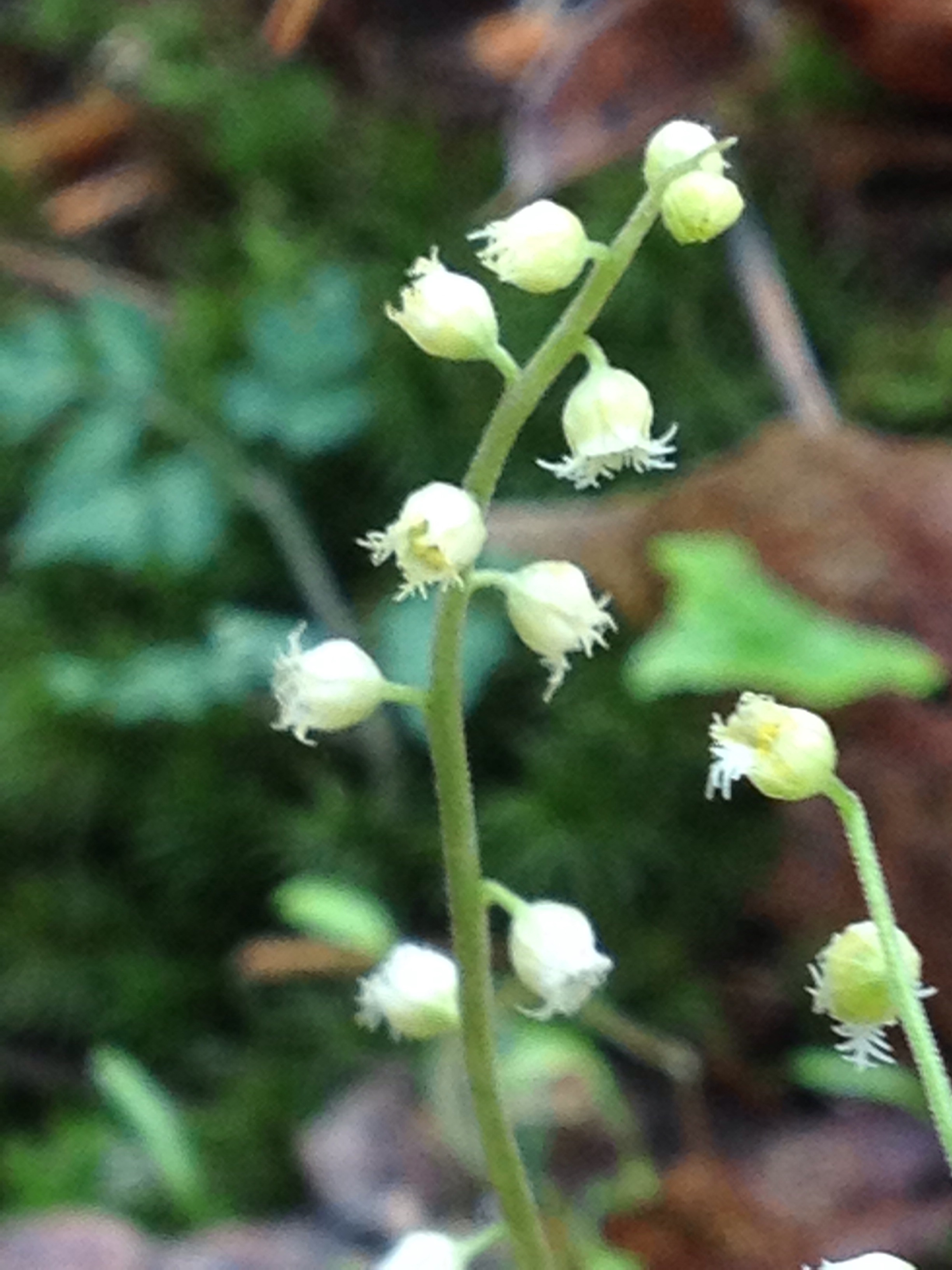


And Bishop’s cap:


To infinity and beyond…

Bear Bags

It appears that there are quite a few bears in this part of the country, although I have yet to see one,  I have seen bear tracks and bear scat. One responsibility of the AT hiker is to maintain a campsite that does not attract bears. At the end of each day, I place all scented items in a waterproof bag and hang it from a tree as described below:

  
I’ve hung my bag in this manner about 40 times so far without event (note the orange bag in the tree):

  
I met a fellow at my parent’s place in NC. He had hiked the southern Appalachian trail in 1969 and described the shelter scene in those days as much less tidy, with open garbage piles and regular bear visits.

It seems like we’ve made some progress since those days.

Although I wouldn’t mind seeing a bear from a distance, if I don’t see one, that would be just fine…

A few more flowers:


Guide book

I don’t carry a map when I’m hiking. Most of us use a guide book. Mine is written by a well known hiker named “AWOL”. Here’s a page of it:

  
A northbound hiker like myself would use the second column to keep track of how many miles have been completed from the beginning (Springer Mtn in Georgia). To the right of that mileage column are brief written descriptions of landmarks and points of interest. The symbols to the right of that indicate options for shelter or tent campsites and drinking water availability.

The elevation of the trail is recorded by the grey line that runs up and down on the page with a scale that runs from 0 to 6000 feet.

When I get back on the trail Tuesday, I’ll start at mile 393.1. Looks like I’ll be climbing for a while (2.5 miles), then descending for 4 miles. Lots of water options along the way (marked by the black droplet symbol).

This guidebook is instrumental in planning a day’s hike.


My Uncle Bob and a wildfire

I learned two things yesterday morning – my dear Uncle Bob had passed away in Maine, and a fast moving wildfire in Tennessee was headed east, so the AT would be closed to foot traffic for a few days. You can see the fire here in a photo I took two days ago – it was clearly headed in the same direction that I was:


Thanks to the kindness of Steve and Ann at the Roan Mountain B&B, I’ve found a way to get a rental car, and drive three hours to my parent’s place in high point, NC. We’ll fly up to Boston on Thursday to attend my uncle’s funeral in York, Maine.

  
Hope to be back on the ? charred trail early next week. 

Remarkably, it was announced today that the trail section I was planning to hike on today will be closed for 5 days, the exact duration of time I’ll be gone.

Hmmm…


Leave no trace

With lots of people on the trail, it’s very important to minimize the impact of each individual. It’s not easy, but here is what ATC recommends:

http://www.appalachiantrail.org/home/explore-the-trail/leave-no-trace
I said goodbye to North Carolina today: 


Me and “conductor” – he got his trail name because he does not like spiders and waves his poles up and down in front of him when He’s in spider web territory, an act that resembles orchestra conducting.

 
Nature shots of the day:


“Earl Grey” about to launch in to the largest burger I’ve ever seen

  
He washed it down with a milk shake and had a big bowl of ice cream for dessert. I was impressed. It’s called trail hunger and it’s hard to satisfy.


The white blaze

The Appalachian Trail is marked by white blazes (rectangles) on trees or rocks or posts. Most are just single blazes. 


If there is potential confusion ahead and you are supposed to go straight, you will see two blazes – one on top of the other – it usually means “pay attention “. 

  
If the trail takes a sharp turn, there are two blazes but they are offset – you turn in the direction of the topmost blaze. 

  
Since the blazes are white going northbound and white going southbound, it’s always a good idea to make sure I start the day headed north 🙂

Uncle Johnny’s

Staying at Uncle Johnny’s hostel on the Nolichucky River near Erwin tonight:


Rented a bike for $2 and rode into town to do laundry and resupply with food. When we got back we met Chris West who was on the AT as part of a walk across the country from Newport, NC to Newport, OR. You can check out his story at odysseywest.us. He brought some food to the hostel for the thru hikers

  
Anybody know this flower?