Foraging

I’ve been hiking with a fellow from Maine named White Owl. He introduced me to fiddle head ferns : 

  
We collected a bunch and had them for dinner:


To the right of the fiddle heads were hickory nuts which turned out to be too dry/too old.

A few more photos from today 


Shelters

All along the AT are shelters – every ten miles or so. In Tennessee they look like this:

  
They have a capacity of six, but often there are 30-40 hikers looking for a place to sleep on any given night near the shelter. I’ve only spent one night in a shelter. I prefer my tent/cocoon.

One thing I do like about shelters is the graffiti:

  
Throw me to the woods…

Junco

Rambomb

Last night, for dinner, I had a cup of noodles (something like Ramen noodles). Thinking that it might not fill me up, I was thinking about adding some “heft”. I opted for adding a bagel. 

Today I learned that the preferred Ramen noodle additive is a large amount of instant potatoes, affectionately known as a Rambomb (Rombom).

Tried and true…

Back on the trail

I’ve returned to the Roan Mountain B&B and hope to hit the trail tomorrow – rested and fattened up. My brother Tim devised a diet for me to manage my trail hunger for the last few days. It’s a bit of a “front loaded” system called the 3-2-1 diet. You eat 3 breakfasts, two lunches, and one dinner – seemed to work quite well.

The trail is reportedly reopened so I’ll be curious to see the results of the fire.

While at the B&B I found a great flower book:


Helped me identify a couple recently photographed flowers:

 Shuttleworth’s Ginger:


And Bishop’s cap:


To infinity and beyond…

Bear Bags

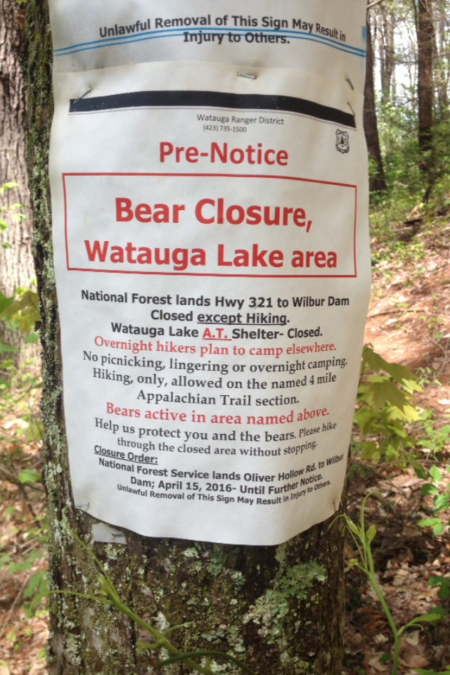
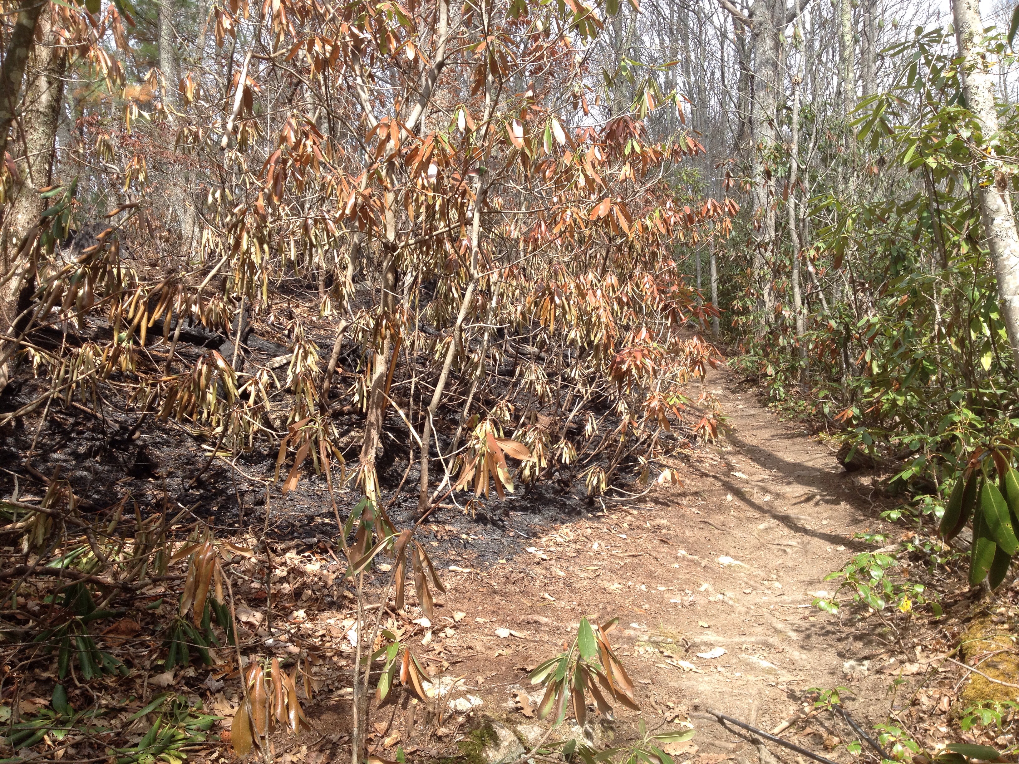
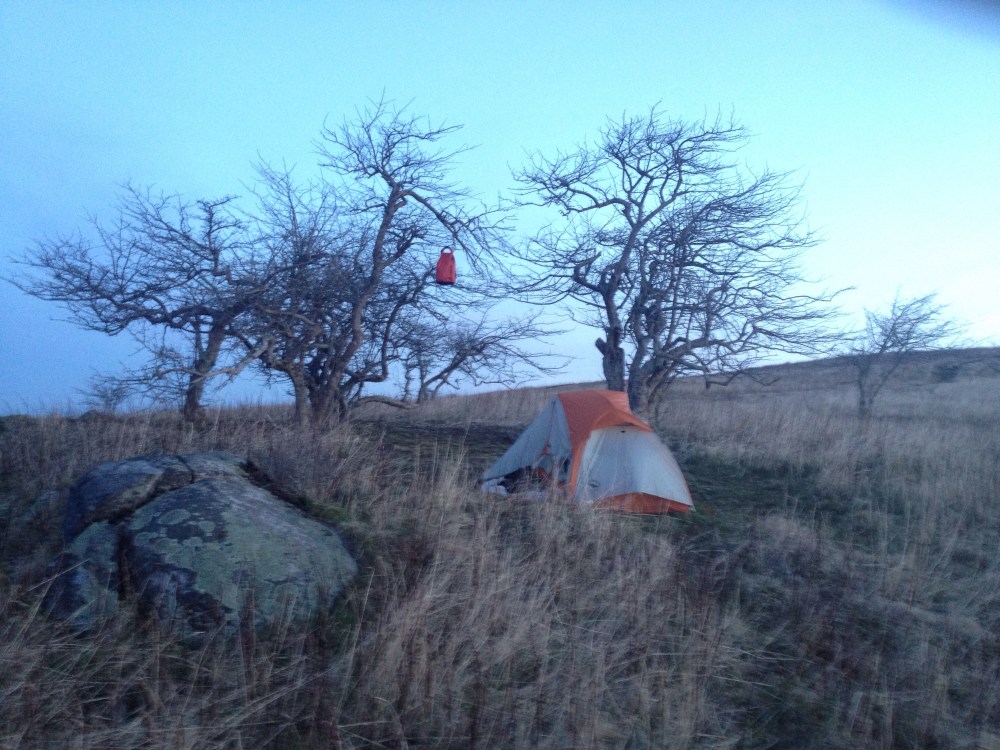
It appears that there are quite a few bears in this part of the country, although I have yet to see one,  I have seen bear tracks and bear scat. One responsibility of the AT hiker is to maintain a campsite that does not attract bears. At the end of each day, I place all scented items in a waterproof bag and hang it from a tree as described below:

  
I’ve hung my bag in this manner about 40 times so far without event (note the orange bag in the tree):

  
I met a fellow at my parent’s place in NC. He had hiked the southern Appalachian trail in 1969 and described the shelter scene in those days as much less tidy, with open garbage piles and regular bear visits.

It seems like we’ve made some progress since those days.

Although I wouldn’t mind seeing a bear from a distance, if I don’t see one, that would be just fine…
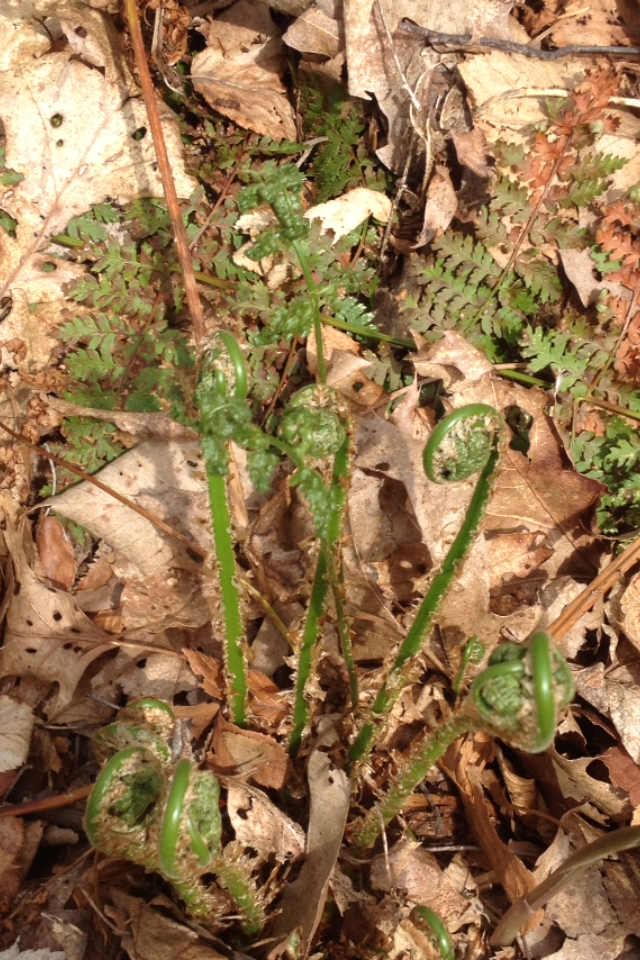
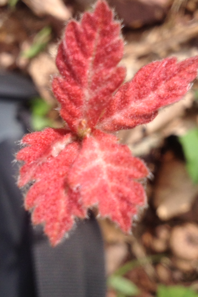
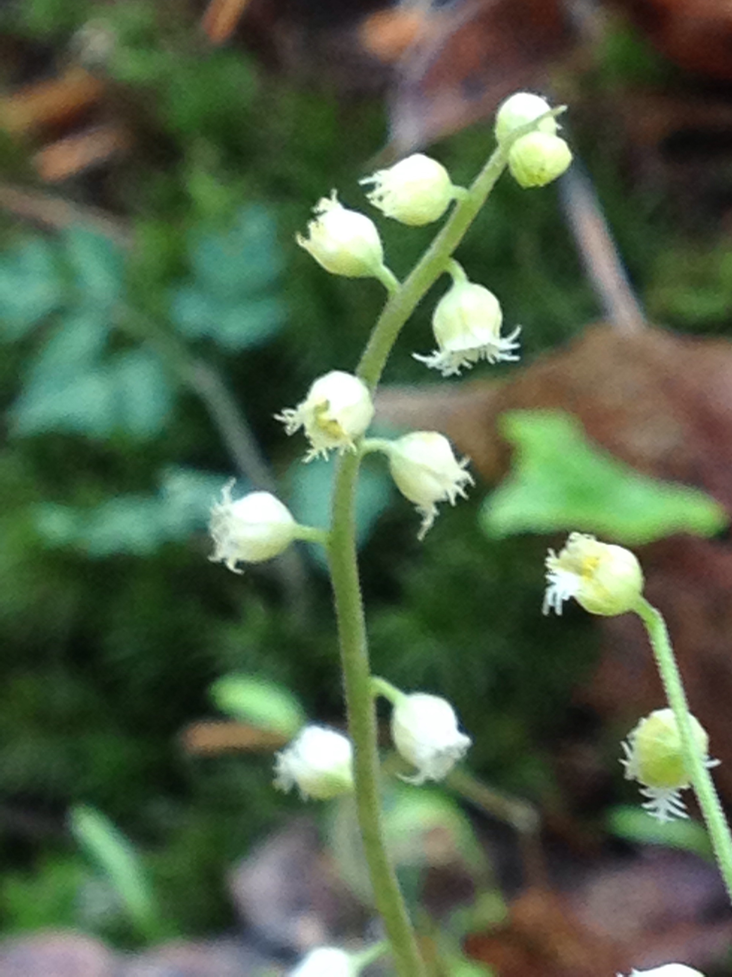
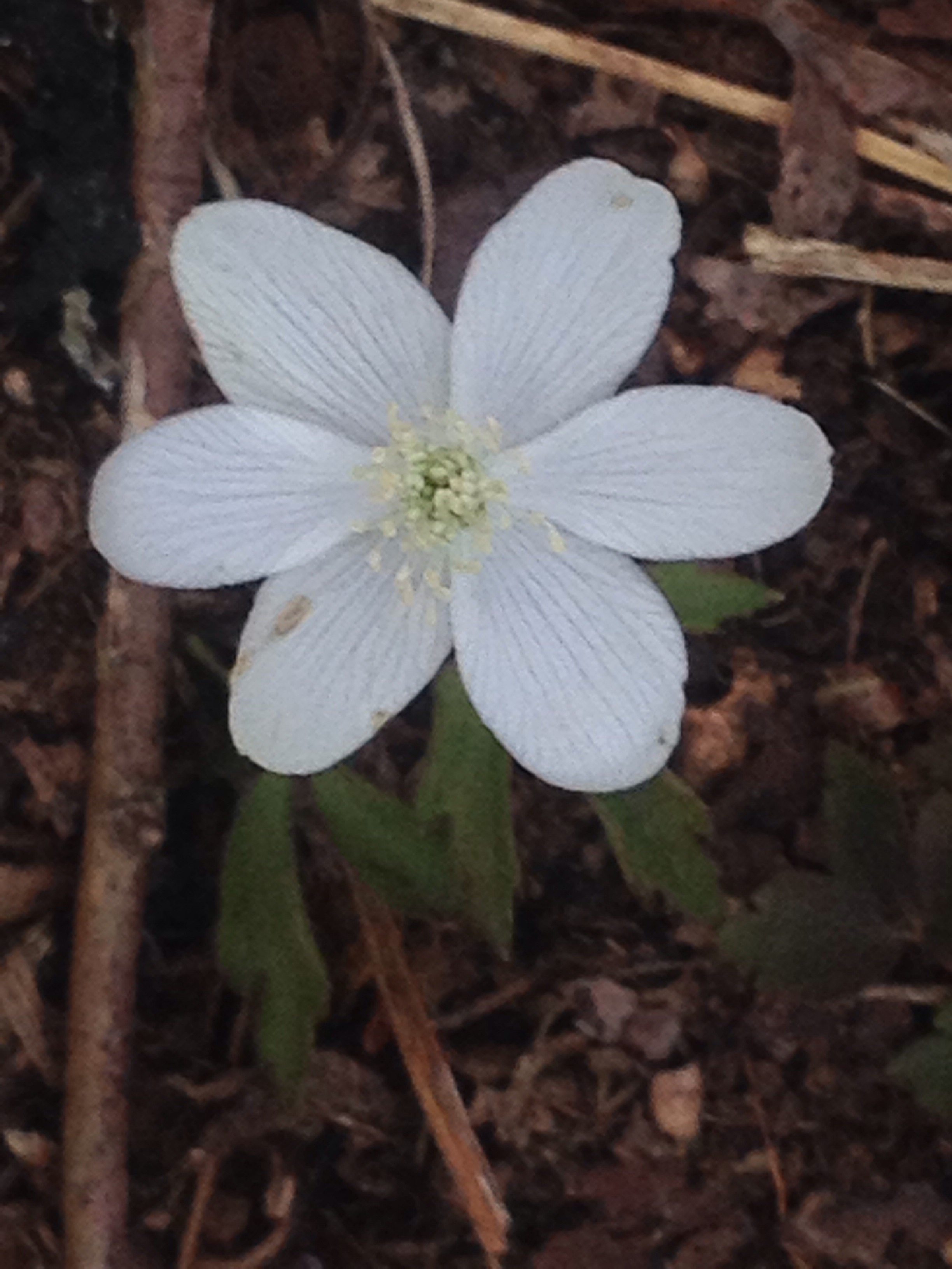
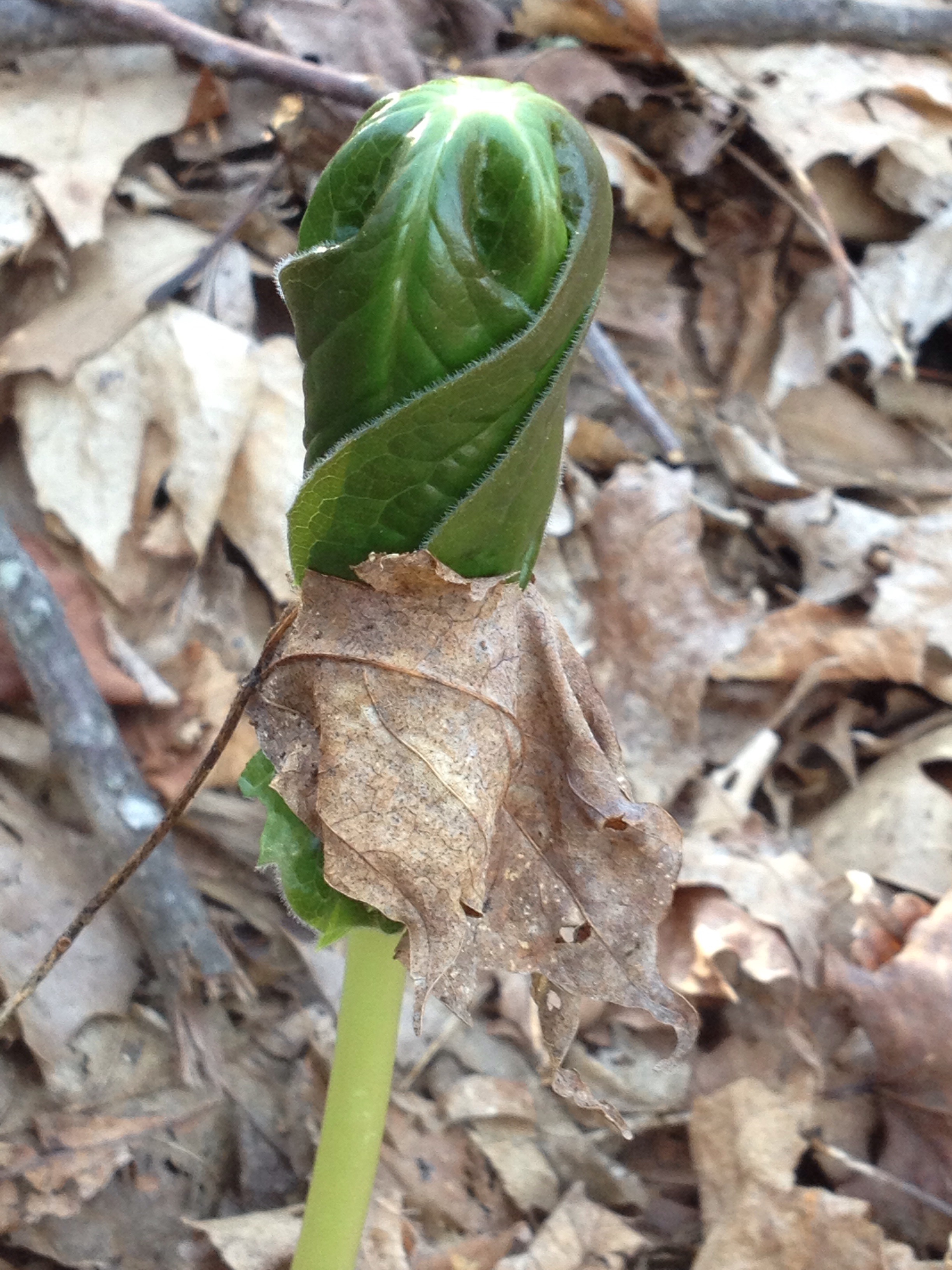
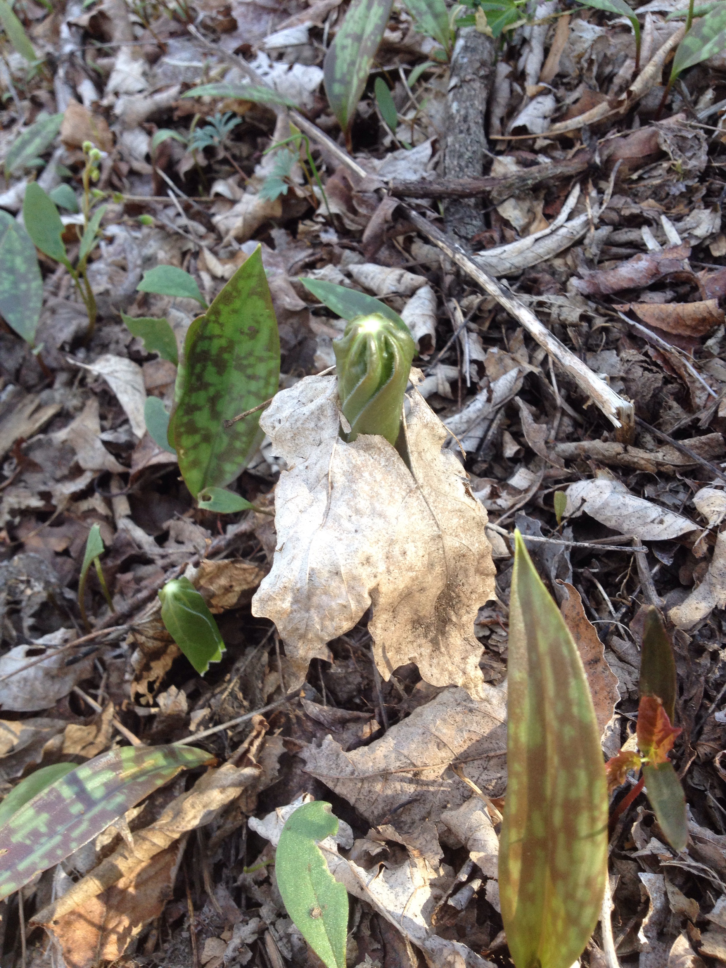
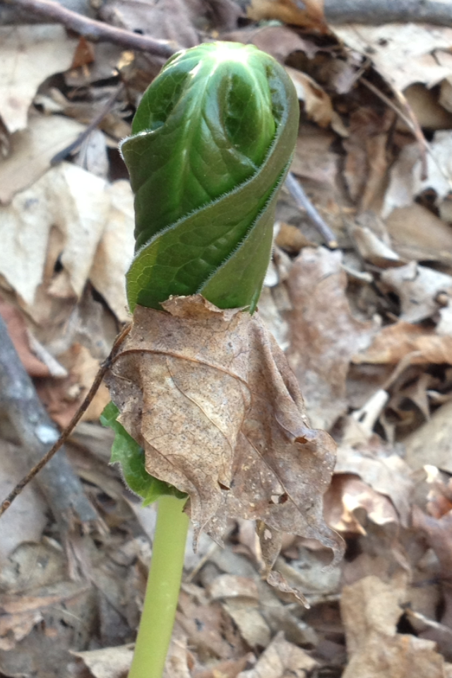
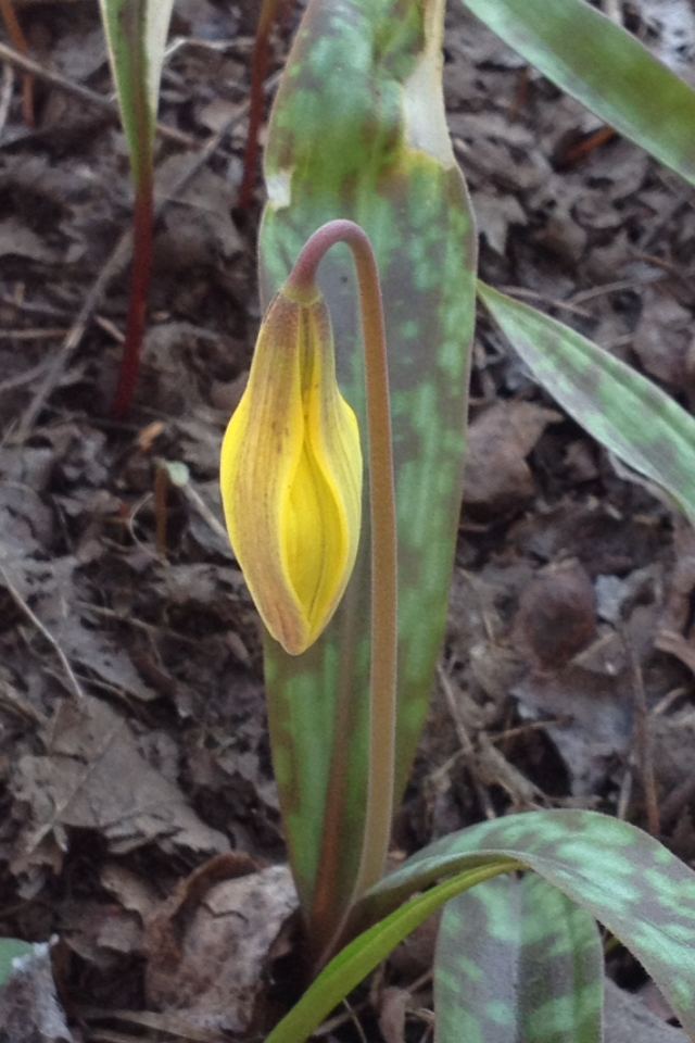
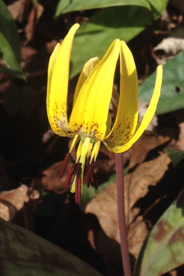
A few more flowers:


Guide book

I don’t carry a map when I’m hiking. Most of us use a guide book. Mine is written by a well known hiker named “AWOL”. Here’s a page of it:

  
A northbound hiker like myself would use the second column to keep track of how many miles have been completed from the beginning (Springer Mtn in Georgia). To the right of that mileage column are brief written descriptions of landmarks and points of interest. The symbols to the right of that indicate options for shelter or tent campsites and drinking water availability.

The elevation of the trail is recorded by the grey line that runs up and down on the page with a scale that runs from 0 to 6000 feet.

When I get back on the trail Tuesday, I’ll start at mile 393.1. Looks like I’ll be climbing for a while (2.5 miles), then descending for 4 miles. Lots of water options along the way (marked by the black droplet symbol).

This guidebook is instrumental in planning a day’s hike.