Flagstaff to the Grand Canyon

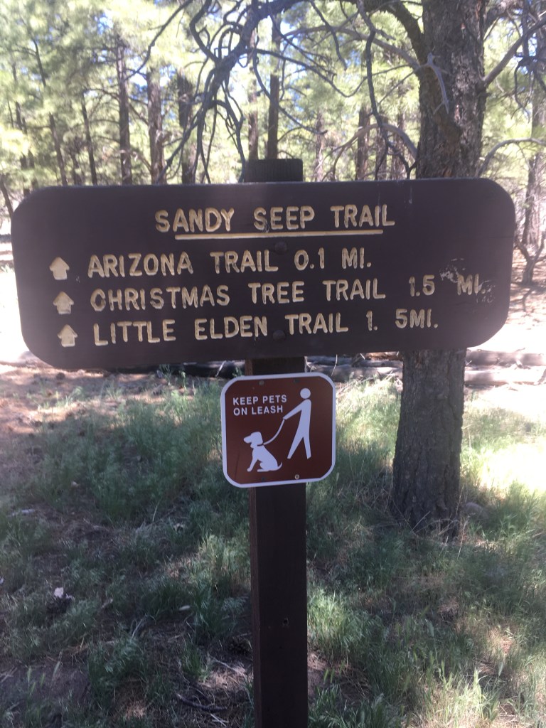
Caught a Lyft from my house to the Sandy Seep trailhead on the east side of Flagstaff to get to the spot where I got off the trail on April 24, 2019. Originally, I had planned to continue on after a short stay in Flagstaff but further hiking in 2019 was not possible because of my father’s illness, and then Covid hit in 2020.

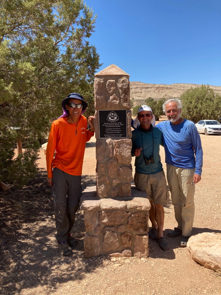
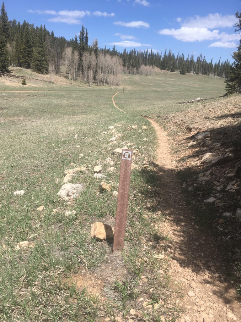
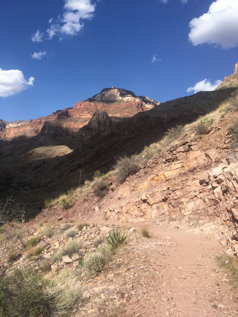
So here I am 2 years later starting a 100 mile section to the Grand Canyon south rim. Hiking this section in late May is nice because it’s a bit warmer at night and the snow has all melted. The only problem with waiting until May is that the water sources are all drying up….

The trail winds around the east side of Flagstaff with views out toward the Navajo Reservation

Phlox

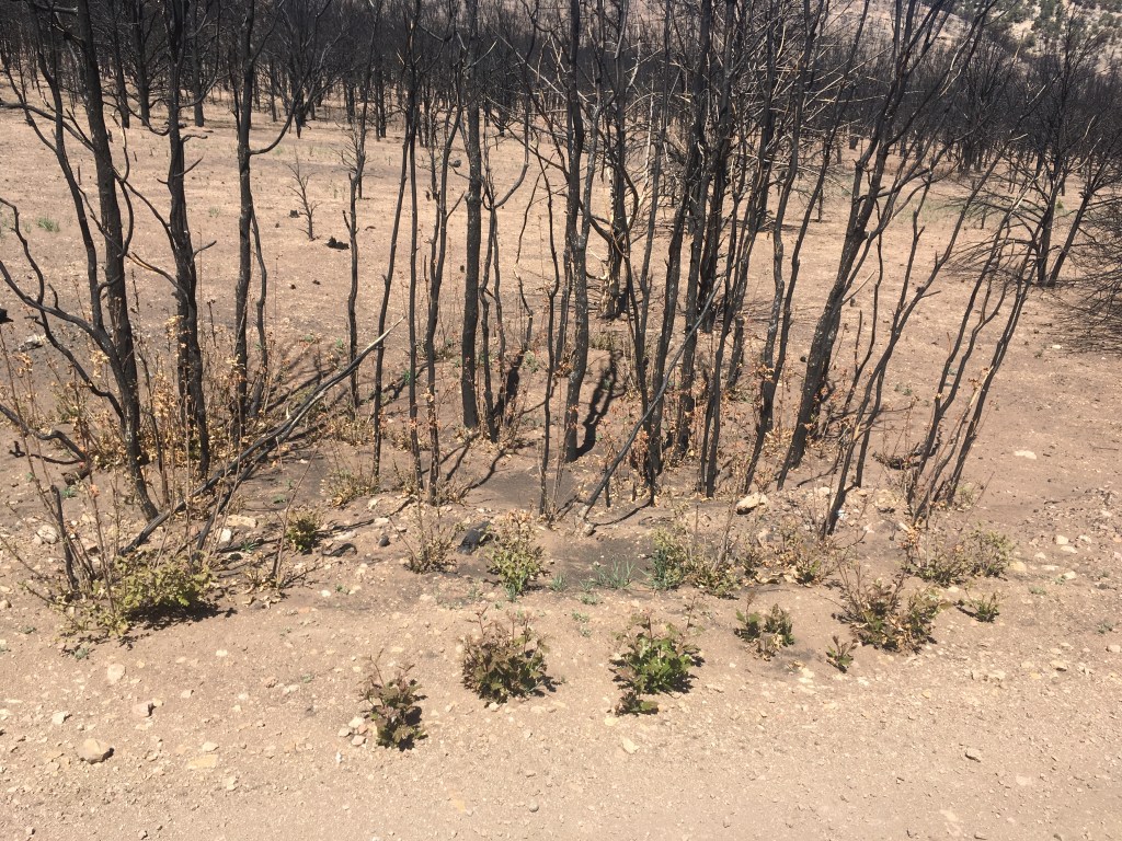
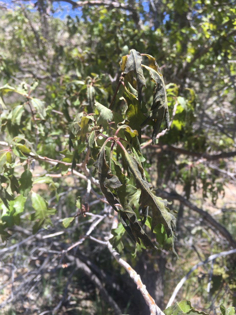
The temperature had dropped into the low 20’s the night before I left and many of the oak leaves were damaged by the cold temperature

A horny toad
Paint Brush

Heading north, the San Francisco Peaks come in to view. The trail took me over the shoulder of the peak on the left (Agassiz)

Golden Pea (Thermopsis)
All around is evidence of recent forest thinning projects intended to reduce the likelihood of future forest fires (see the freshly cut stumps)
These piles are created from the remains of the smaller cut trees and are burned in the winter
Here is what the thinned forest looks like
A wild iris

There is no water for the first 40 miles, so I cached a gallon at the 20 mile mark and another gallon at the 40 mile mark. I am trying to cover 20 miles a day on this section.

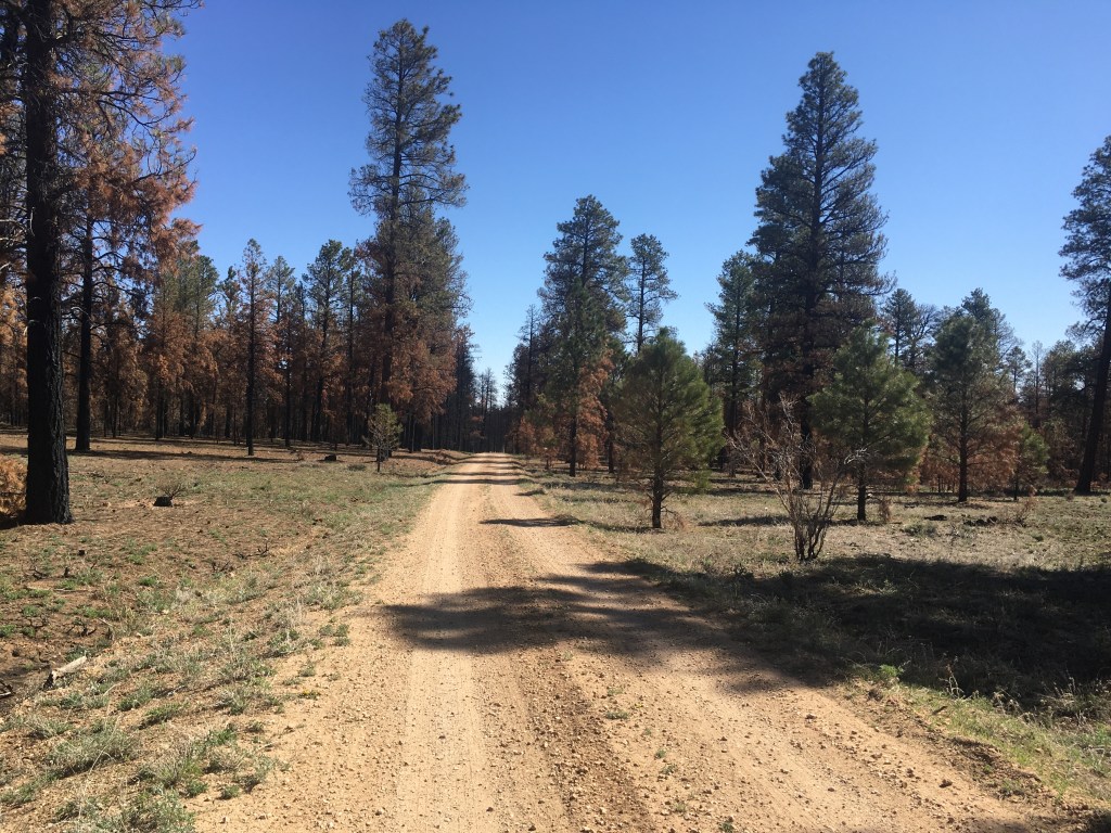
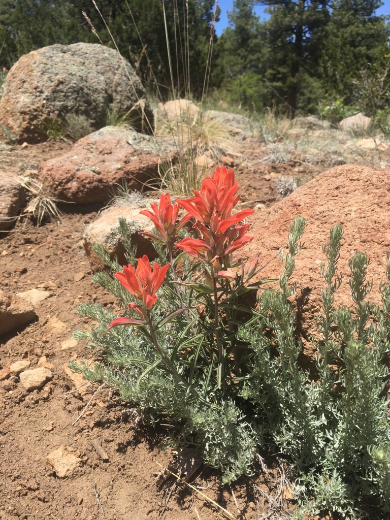
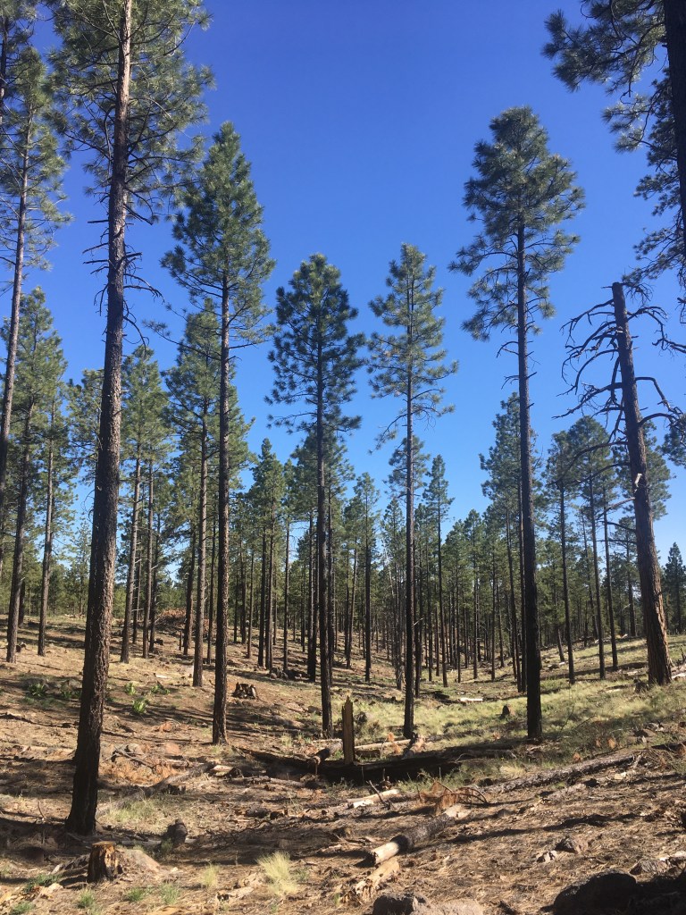
Daytime temps in the 60’s and very little wind – perfect!!
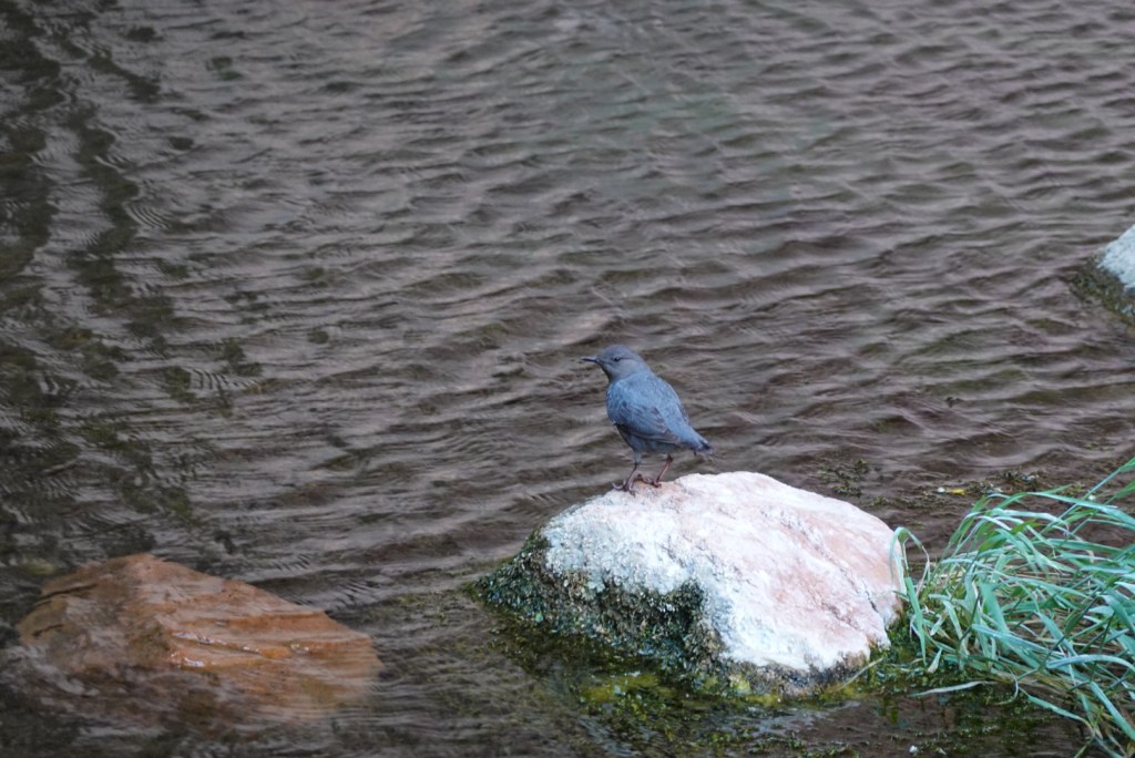
Junco

The Finish

After marching through areas affected by fire, it was nice to get back to narrow trails with healthy vegetation. From the Kaibab plateau (8000 feet) we descended to about 6000 feet and left the ponderosa pine forest. We entered an area with pinon and juniper trees with sagebrush growing in between.

We saw a dust devil (like a dry mini tornado).

On the north rim, we saw several of these water collecting systems with a large rubber or metal (water impermeable) snow catcher that was up high and drained the water down into a reservoir, which ultimately fed cow troughs (or in our case, people troughs). Any water source that had metal or concrete side (as opposed to earthen sides) was considered a bonus.

One last night of cowboy camping (no tent).

More nice plants along the way.

Descending to the Utah state line

Ultimately we reached the State Line Campground to finish our 100 mile journey. My son, Matt, picked us up from this remote location and drive us 3 1/2 hours back to Flagstaff.

We had a final meal with Paula, Matt, El Tejano, Mr. Bean, and Hob (a veteran hiker who we met along the way). Then Hob went back to Connecticut, El Tejano to Houston, and Mr. Bean to Honolulu.

Looking forward to the Flagstaff to Grand Canyon stretch (next up).

Junco

Fire

As we headed north and left the Grand Canyon National Park, we entered the Kaibab National Forest. The area has been co-managed by the Park Service and the Forest Service since the early 1900’s. Logging, then grazing have been part of the history of this area, with evidence of both readily apparent. Early settlers included the members of the Church of Jesus Christ of Latter-Day Saints (the Mormons).

If you Google “Orderville” or “Orderville United Order”, you’ll get some sense of this interesting settlement and its governance.

Another interesting aspect of this area is the efforts to make it into a game preserve or private hunting club dating back to the late 1800’s. Buffalo Bill Cody was involved https://centerofthewest.org/2017/11/17/points-west-north-rim-adventure/

There is also a fascinating story of attempts led by Teddy Roosevelt to increase the mule deer population. This “Kaibab Deer” experiment went horribly awry. https://en.wikipedia.org/wiki/Kaibab_Plateau

So that brings us to fire. Through some combination of logging, overgrazing, and fire suppression (Smokey the Bear), the north rim has been subject to many fires since 2000. We hiked through several fire affected segments.

The first segment we hit was 20 years old and was still looking damaged, but was regenerating

Then we were rerouted from a single track trail to a forest service road for several miles to avoid a fire damaged canyon (with potential flash flood risk) from the “Mangum Fire” from last year. This more recent fire showed the immediate aftermath of a very hot fire

It ain’t pretty
The soil had been reduced to a fine dusty ash – almost like little sand dunes

But, on a positive note, there were already signs of regeneration

Little oaks regenerating from the roots of the burned parent tree

Any wildflowers

Hard to know what to make of fire, other than it seems good in small doses.

These massive fires seem to be a reaction to an unbalanced system where mother nature takes charge to bring things back to where they belong.

Fascinated by fire,

Junco

A High Plateau

Once we climbed out of the Grand Canyon on the north side we found ourselves on the Kaibab Plateau which is a relatively flat, high elevation forest. It ranged in elevation from 8000-9200 feet. The forest was aspen, spruce, and fir. The spruce and fir trees were tall and narrow. The forest was punctuated with beautiful alpine meadows. We left the bottom of the Grand Canyon with temperatures exceeding 100 degrees and found ourselves in a much cooler place with patches of snow here and there.

El Tejano got some well deserved rest

We came across a fire tower as we reached the northern end of Grand Canyon National Park

I climbed up inside. It was quite windy and the tower was a bit rickety.

After the fire tower we reached a meadow with some rocky outcroppings. These were limestone layers embedded with fossilized shells. It’s hard to imagine that this high elevation forest was once under a body of water with sea creatures in it.

Found a forest creature for my friend Pat.

Setting up camp at the end of the day.

Then enjoying the sunrise the next day (and a nutritious breakfast)

Rolling on,

Junco

Before we leave the Grand Canyon

I wanted to share some more photos of the Grand Canyon that I meant to include in the last post.

First, Mr. Bean in an “action shot”

Some sights along the way

Prickly Pear cactus in bloom
The remarkably engineered South Kaibab Trail going down
First glimpse of the Colorado River and the Black Bridge on the way down
The Black Bridge crossing the Colorado River at the bottom of the South Kaibab Trail
More Prickly Pear – yellow this time!!
Agave Utahensis in bloom (they bloom once and then die)
Common Side blotched lizard
Canyon tree frog (two views)
An American Dipper (who was feeding young at a nest site near Ribbon Falls)
Seep Monkeyflower
Crimson Monkeyflower
View of the top (North Rim) on the way up
Bridge crossing near the Supai Tunnel (approaching the top of the North Rim)

As my friend Brian notes, this Canyon is Grand.

Junco

Sunday – Climbing out of the Grand Canyon

When I got to camp Saturday evening it was very hot, and I had been sweating a lot. I didn’t have much energy and felt a bit light headed. Mr. Bean said that he knew just what I needed. He is a nephrologist (kidney physician) and he recommended some of these.

Mr. Bean

Well, they are salted plums and I’m not sure that I ever tried anything that salty, but I really think they helped a lot. Grab some Ume for your next hike!!

Here are a few photos on the way up

And our group when we finally made it!!

I actually much preferred the climb to the descent. I really like climbing.

Enjoying the Grand Canyon (except the heat). Junco

Saturday – the Grand Canyon

Left from a campground on the south rim early Saturday morning and hiked 7 miles down to the Colorado River

An Umbrella for my friend, Mr. Bean
The mighty Colorado

Passed by Phantom Ranch

Warm

Camped at Cottonwood Campgroud

With some other Arizona Trail hikers

Quite the first day!!

Junco

An End and a Beginning

Hanna and Pete completed their 800 mile journey by arriving at the Utah border on Monday

Thru Hikers

They finished in 47 days and looked very fit and happy when I picked them up. Pete will be heading to Denver and Hanna to Durango for their next adventures.

We are all very proud of both of them!!!

As for me, Pete just dropped me off at the south rim of the Grand Canyon and I’ll be headed north tomorrow to cover the last 100 miles of this beautiful trail . More fun to come!!!

Junco

Rock Pocket Guest Post

Have you ever been hiking and gotten a blister on your foot? We’ve all been there. 

Now when you pop that blister, it is commonly accepted that you leave the “cover” on to protect the raw skin while it heals. 

However, if you now go for a float in the Gila River, you might end up with a blister chock full of river pebbles. That’s a Rock Pocket, my trail-namesake.

My current AZT rock pocket count is three. My hiking partner Giggles is only at one. I don’t think Junco has any.

Despite the occasional rock pocket, the sights and sounds of the AZT have drawn me in, and I’m almost halfway done. From snow at the top of Mt. Lemmon to boiling water out of cow tanks near Kearney, I’ve gotten a good fill of what Arizona has to offer, and I’m looking forward to the Mogollon Rim and the Northern sections!

This is a photo of a ??? snake, seen on top of the Superstition Mountains near Phoenix.

This scene was my favorite lunch spot yet, with a few cactuses and mountains to make for a beautiful midday rest.

The last photo is from when we got up at 5 to hike the sunrise and beat the heat near the Gila River.

Looking forward to more adventures,

Rock Pocket

The plan

I’ve been hanging out in Tucson and Flagstaff since leaving the AZT in late March. Saw Pete and Hannah in Oracle and then today at Roosevelt lake. They are at mile 348 – almost half way there.

Engleman’s Hedgehog cactus

I hope to resume hiking for the last 200 miles with my friends El Tejano and Señor Bean when they reach Flagstaff in a couple weeks.

Can’t keep up with the youngsters

Junco