Colorado River

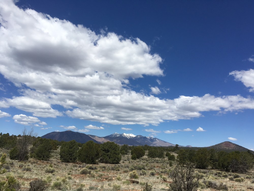
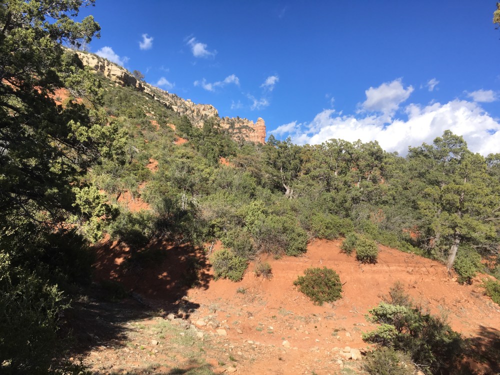
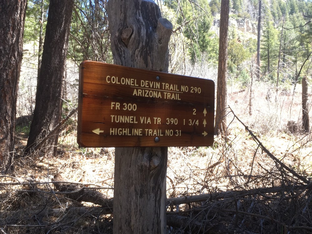
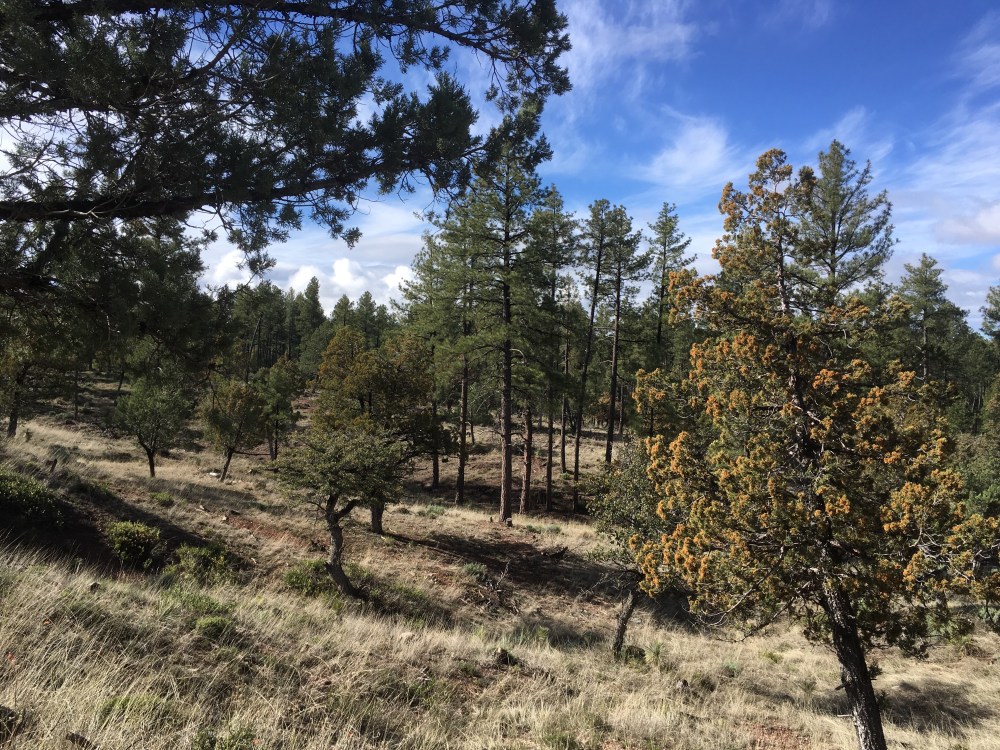
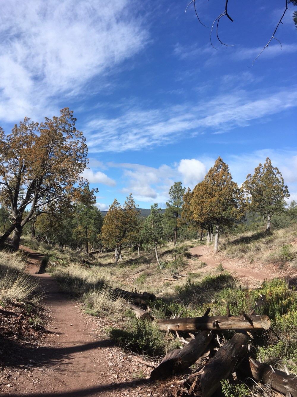
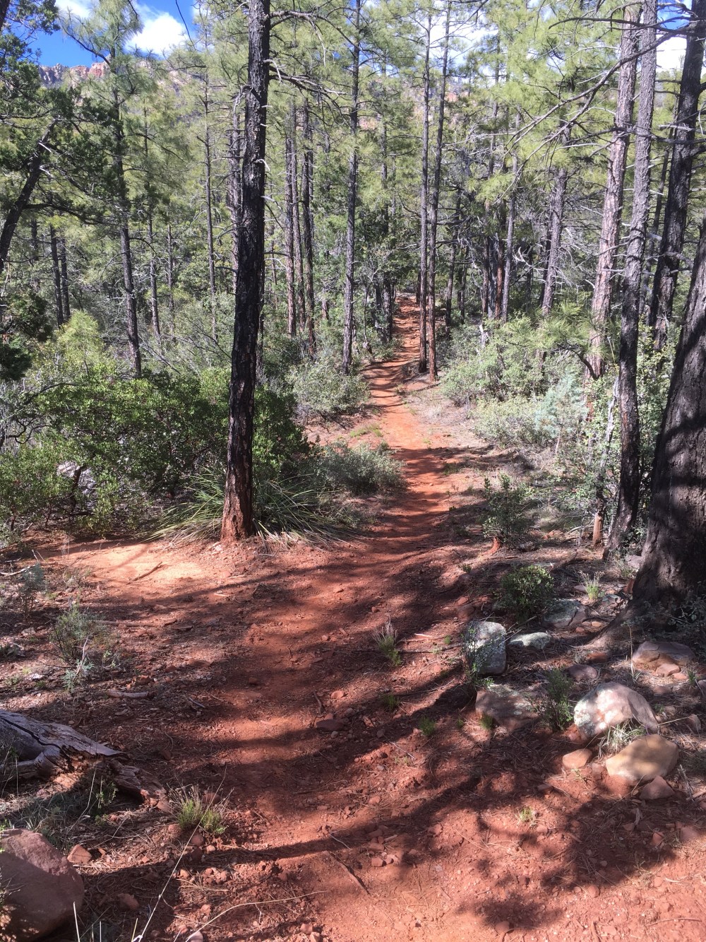
As the Arizona Trail heads north from Flagstaff, it approaches the Grand Canyon which has been cut by the Colorado River. I’ll be heading in that direction in my next hiking section.

In the meantime, I’ve driven to Boulder City, Nevada to start a 3 day canoe trip on the Colorado River downstream from the Grand Canyon. The Hoover Dam, which was originally called Boulder Dam spans the Colorado River.

Behind the damn is Lake Meade.

Below the dam is Black Canyon.

The canoe trip starts tomorrow and is a 3 day trip on calm water that is released from the Hoover Dam through Black Canyon.

Today we crossed the O’Callahan- Tillman Memorial Bridge – which crosses the Colorado River just below the Hoover Dam – I took the photo above from that bridge. The bridge separates Arizona from Nevada and honors one individual from each state

I figure paddling a canoe for a few days will rest my legs and get me some upper body strength.

We’ll see,

Junco

The San Francisco Peaks

I rolled in to Flagstaff Tuesday afternoon.

Flagstaff is at the base of the San Francisco Peaks, so most of the day I was walking toward the Peaks.

These Peaks are sacred to the Navajo people, representing the western edge of Dinetah, the land of the Diné (Navajo). The Navajo name for the Peaks is Dook’o’oosłííd, “the summit which never melts”.

The four sacred Peaks above mark the boundaries of the traditional Navajo homeland.

It was a beautiful day

I crossed under interstate 40

Found a great horny toad

Met Paula toward the end of the day

We hiked under route 89

That’s Paula!!

And finished the day by driving home.

Jumped on the scale at home and found out that I’d lost even more weight

So it’s time to take a break and rest up/eat some good food.

Off the trail for a bit of R&R,

Junco

Ralph Nye and Lakes Mary

As I neared Flagstaff on Monday, I was hiking along Anderson Mesa and passed by an astronomical Observatory that is a remote site associated with Flagstaff’s Lowell Observatory. Here I met Ralph Nye

Ralph is a mechanical engineer who builds telescopes and refurbishes and repairs old ones. He has worked for the observatory for 42 years. He offered to take me for an observatory tour when I get to Flagstaff. He was incredibly passionate about astronomy, old telescopes, and photography – can’t wait to visit him…

The Mesa rises above Walnut Creek which, through a couple of dams, is converted into upper and lower Lake Mary, serving the water and recreational needs of Flagstaff. Both lakes are full this year due to the wet winter

The Mesa top is generally flat with some beautiful ponderosa pines

Some areas are a bit dryer and support a forest of piñon and juniper. The two trees in the center of this photo are a piñon on the left and a juniper on the right

Last campsite before Flagstaff

A few more from Monday

Almost Home,

Junco

500 miles, and the lumber industry

Hit this milestone this week

Learned a lot about the history of logging in this area.

Many parts of this remote forest were heavily logged in the early 20th century.

One challenge was that the area was so remote that it was hard to get the logs out – they built rail roads for that

The work involved in cutting down these trees and moving them is astounding

The remnants of the rail lines are often used for trails (like the AZT) or roads.

A few more from the last few days

And a few flowers

Rolling along,

Junco

Saturday- The Colorado Plateau

Once atop the Mogollon Rim, you walk along the Colorado Plateau which takes you to the Utah border.

It’s a high elevation, relatively flat region that covers northeastern Arizona. It is forested with piñon, juniper, ponderosa pine, fir, and spruce. And it’s rocky!!

And cold

And there’s surface water

Still winter up here but quite a few beautiful things

Closing in on Flagstaff,

Junco

Friday, The Mogollon Rim

A name that is pronounced in several ways, one common way is “MUGGY-Aan”. It’s an imposing cliff that separates northern AZ from the warmer, dryer lowlands to the south

Ii

It’s composed of sedimentary rock layers with volcanic rock on top.

The layers are similar to the Grand Canyon and I spent most of the day hiking just below the Rim on the Highline trail in the Supai rock layer with the cliffs right above me

Then I arrived in Washington Park, which is an area where there is a break in the cliff and an ancient trail to the top (used by the Apaches and their pursuers in the 1860’s)

As I neared the top – 7400 feet, I got a taste of things to come

Uh, oh,

Junco

Thursday – Climbing out of Pine

As I fattened up in Pine, I realized that I’d be climbing to a much higher elevation for the rest of the trip – no more hot, dry desert.

The area around Pine is quite beautiful

Got this photo of an elk

Weather turned bad but I was ready for it this time

Some interesting forms

A few more from today

A nice full livestock tank – this would be a primo water source

Heading up to northern AZ,

Junco

Intermission

I’ve entered a very remote part of Arizona with poor telecom and no ability to upload photos.

All is going well and I’ll post some better stuff when I get near a town.

Up on the Colorado Plateau,

Junco

Higher elevation

For most of the rest of the trip – except the bottom of the Grand Canyon, the weather will be cool and it will be early spring. Around Pine, AZ where I am now it still looks like the end of winter with a few signs of spring

This place is mostly mature oak and juniper and harbors a lot of wildlife.

Saw several deer and elk,and lots of bear poop, but no bears

Paula came down for a visit/hike yesterday and brought some Easter cheer – her infamous Easter coffee cake and a special treat

A few more from today

Paula also brought a bathroom scale and I weighed myself. After two 12 oz drinks and a 20 oz milkshake I weighed 132. I suspect my “straight off the trail” weight was less than 130. My usual weight is 145.

Soooo, I’m still in Pine fattening up, and getting ready to head out tomorrow. Paula brought me all kinds of good food, so I should be in good shape in the AM.

It’s hard to eat enough to keep up with my calorie consumption, so I’m cutting down on my miles and stopping more often in places where I can get real food.

Making some adjustments that will get me to Utah,

Junco

East Verde River and Pine, AZ

Did some rapid descending yesterday to get to the East Verde River, on of the main water ways in northern Arizona

The river valley is deep and beautiful

I spent most of the day wondering what parts of the higher elevations in AZ hadn’t burned to the ground in the last 20 years.

Much of the northern forest has been pushed to the sky islands and now even the sky islands are turning into new environments. Where are the ponderosa pines and the Douglas firs gonna go?

On the positive side the new growth has a beauty of its own

I love to find the beauty in nature and every day there is plenty

I shared my tent site with some agaves last night.

Now I’m in Pine, AZ fattening up

Let’s hear it for the great state of Arizona!!!

Junco