Off to the races
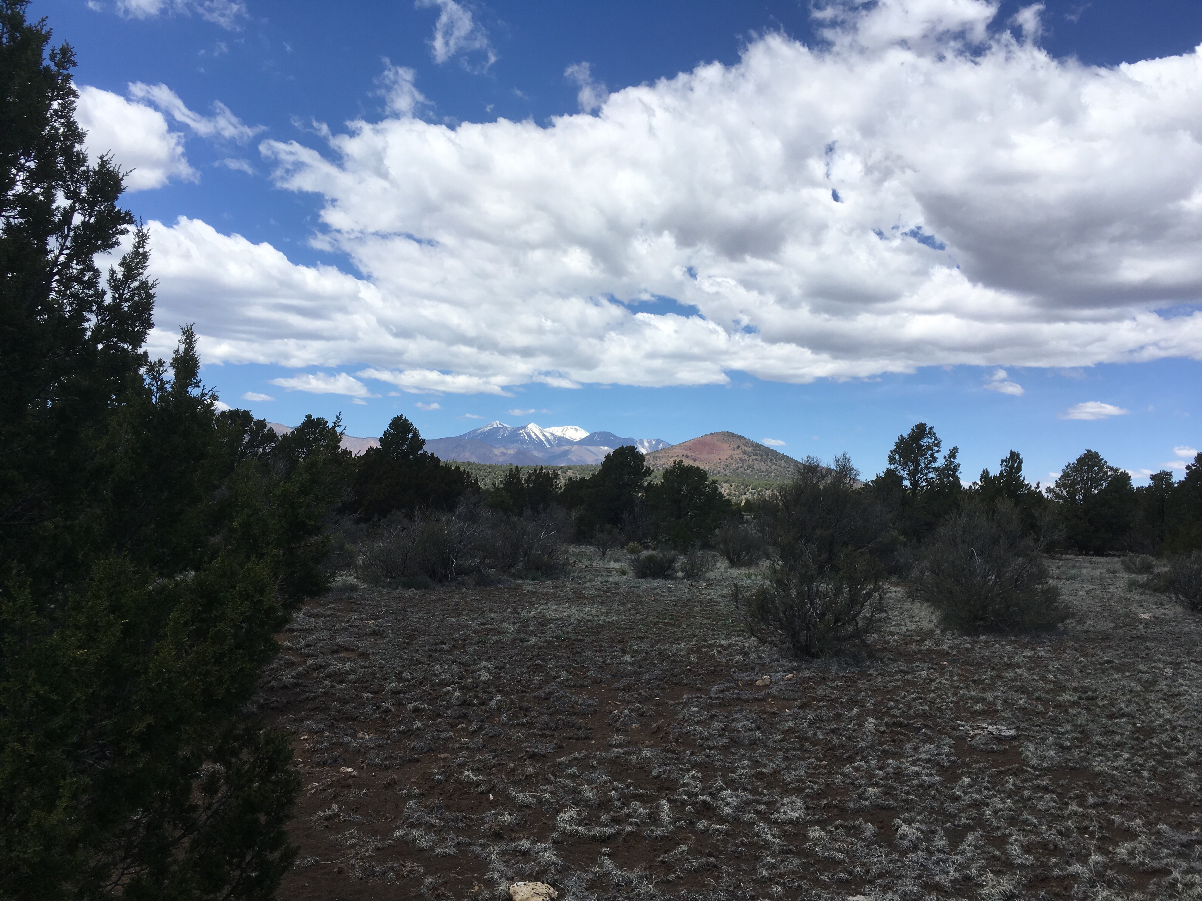
Paula took us to the trailhead and we started heading north
Soon we got near the border wall construction site.
They let us get within a mile of the border, but no closer.

Saw a few cool plants.

Heading north!!!
Paula took us to the trailhead and we started heading north
Soon we got near the border wall construction site.
They let us get within a mile of the border, but no closer.
Saw a few cool plants.
Heading north!!!
My last blog entry was April 2019 as my AZT hike brought me to Flagstaff, AZ, my home town.
Things got complicated there and I was unable to finish the last 200 miles that year.
Tried again in 2020 but Covid hit and derailed that plan.
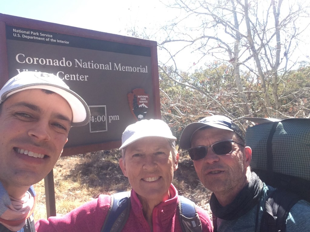
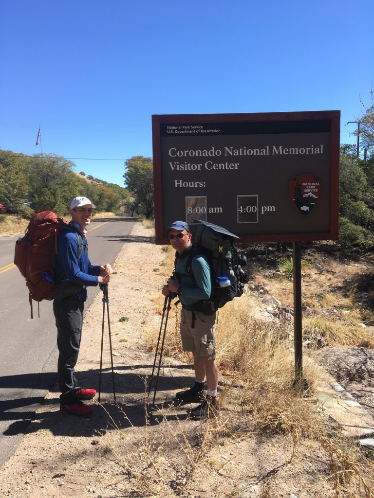
Here are some photos from the start of the 2020 hike (back at the Mexican border in March of 2020). Hiking with some old friends from the Appalachian Trail hike I did in 2016.


So now it’s the spring of 2021 and I’m headed back to the Southern terminus of the AZT for more spring hiking.
This trip, I’ll be hiking with my son Peter, who has some time off this spring. We plan to start in a few days.
More to come..
Junco
As the Arizona Trail heads north from Flagstaff, it approaches the Grand Canyon which has been cut by the Colorado River. I’ll be heading in that direction in my next hiking section.
In the meantime, I’ve driven to Boulder City, Nevada to start a 3 day canoe trip on the Colorado River downstream from the Grand Canyon. The Hoover Dam, which was originally called Boulder Dam spans the Colorado River.

Behind the damn is Lake Meade.
Below the dam is Black Canyon.
The canoe trip starts tomorrow and is a 3 day trip on calm water that is released from the Hoover Dam through Black Canyon.
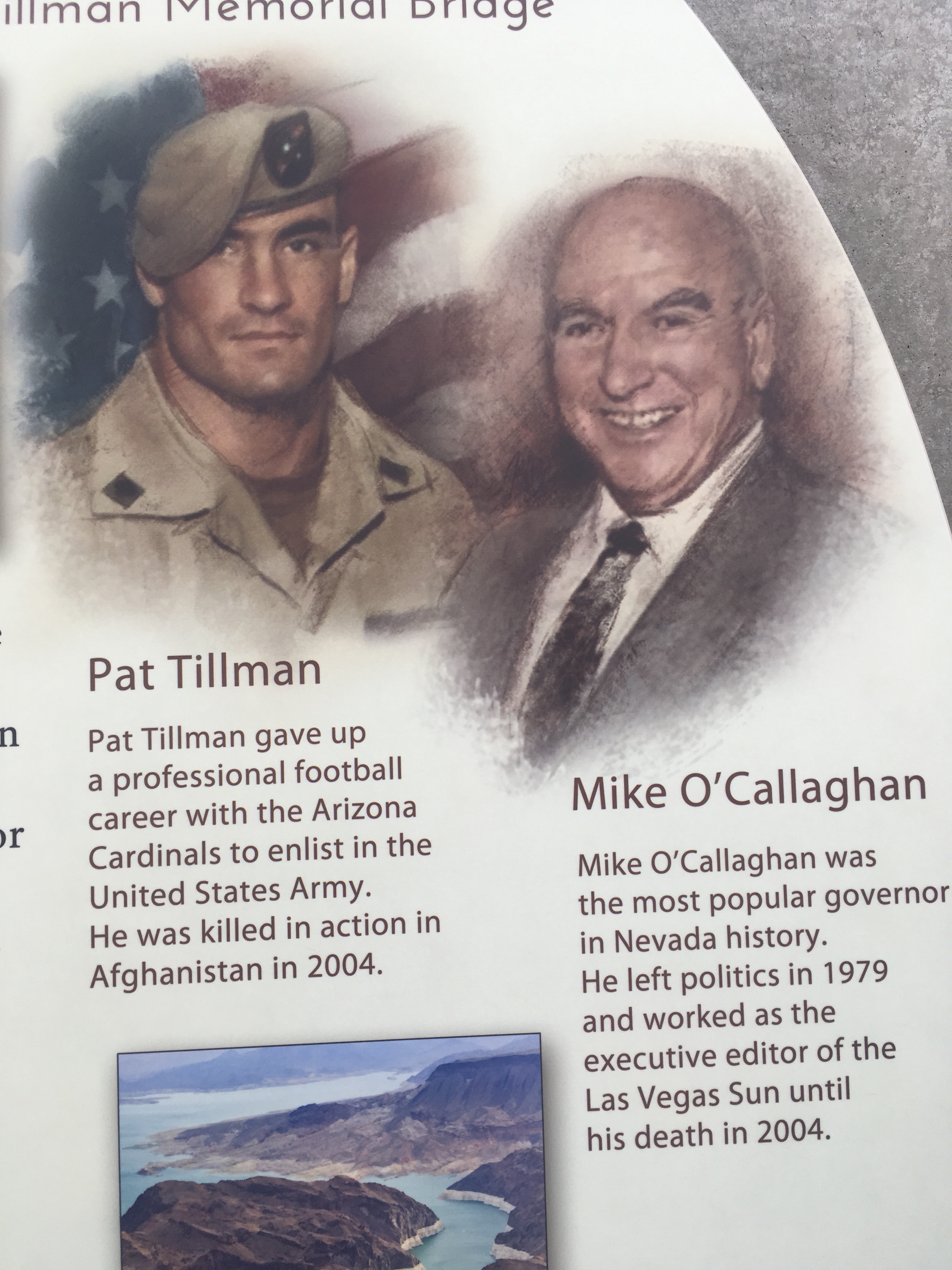
Today we crossed the O’Callahan- Tillman Memorial Bridge – which crosses the Colorado River just below the Hoover Dam – I took the photo above from that bridge. The bridge separates Arizona from Nevada and honors one individual from each state
I figure paddling a canoe for a few days will rest my legs and get me some upper body strength.
We’ll see,
Junco
I rolled in to Flagstaff Tuesday afternoon.

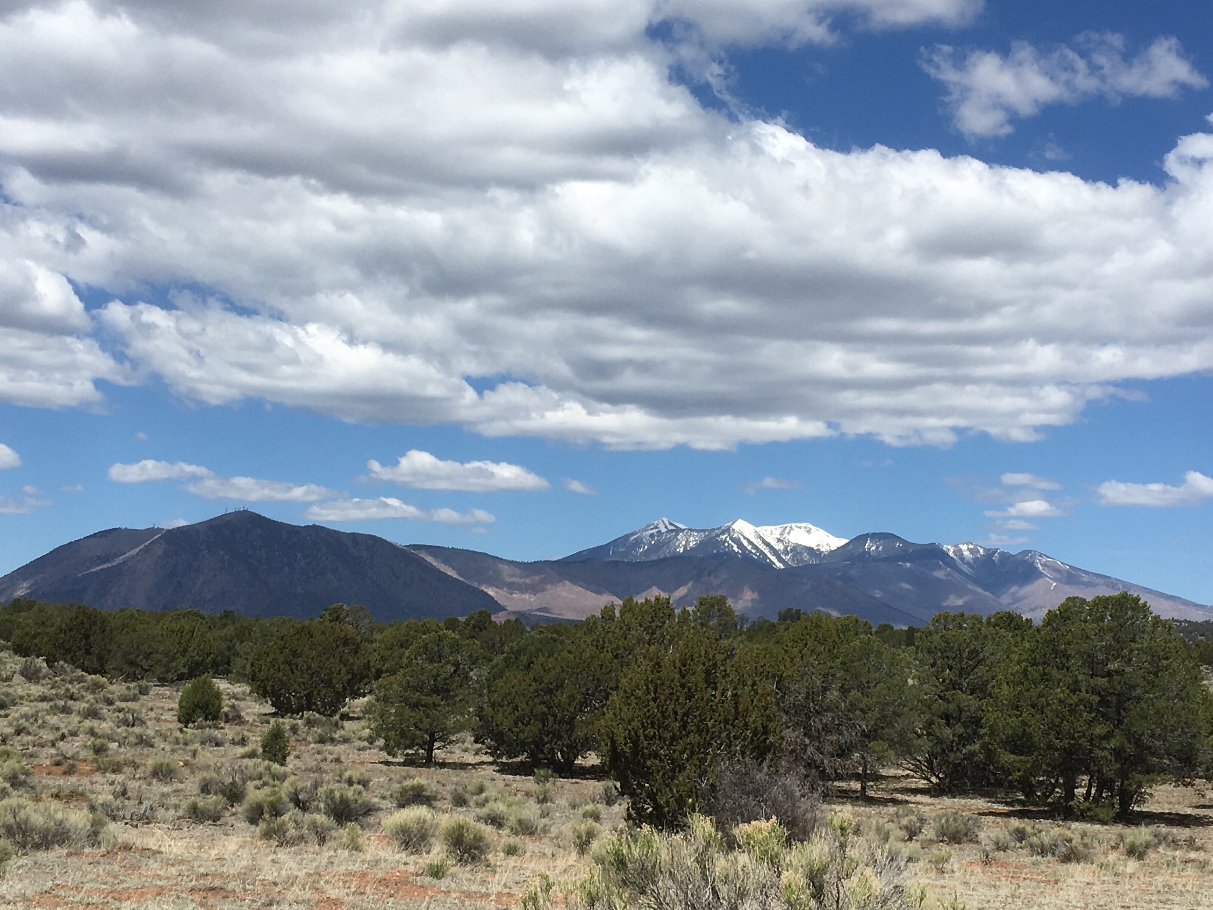
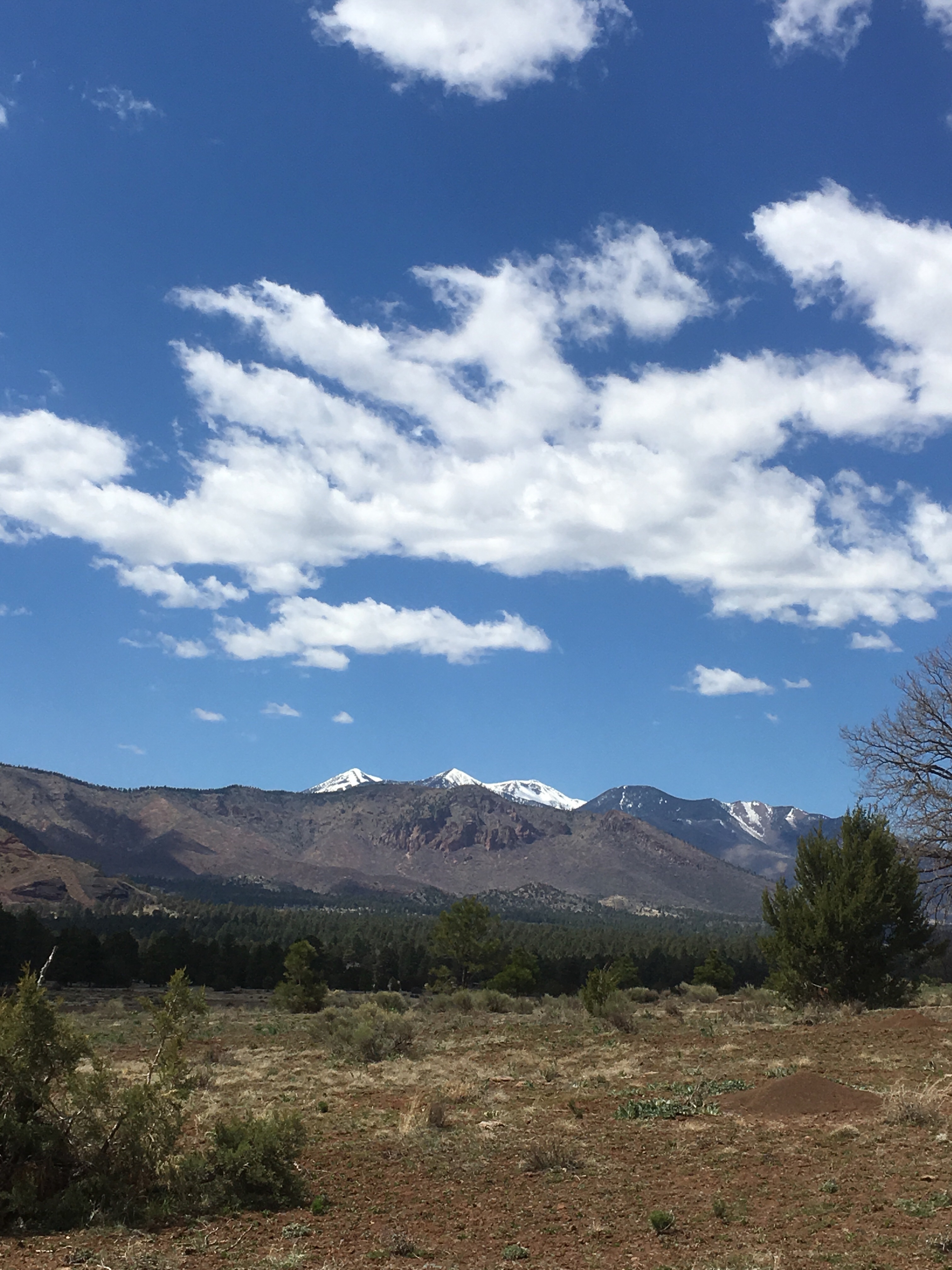
Flagstaff is at the base of the San Francisco Peaks, so most of the day I was walking toward the Peaks.
These Peaks are sacred to the Navajo people, representing the western edge of Dinetah, the land of the Diné (Navajo). The Navajo name for the Peaks is Dook’o’oosłííd, “the summit which never melts”.

The four sacred Peaks above mark the boundaries of the traditional Navajo homeland.
It was a beautiful day


I crossed under interstate 40
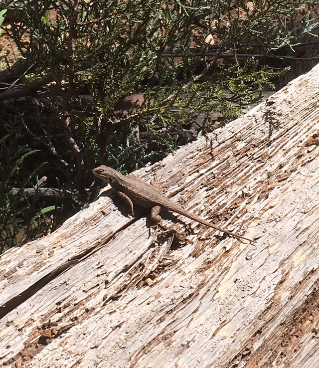
Found a great horny toad

Met Paula toward the end of the day
We hiked under route 89

That’s Paula!!
And finished the day by driving home.
Jumped on the scale at home and found out that I’d lost even more weight
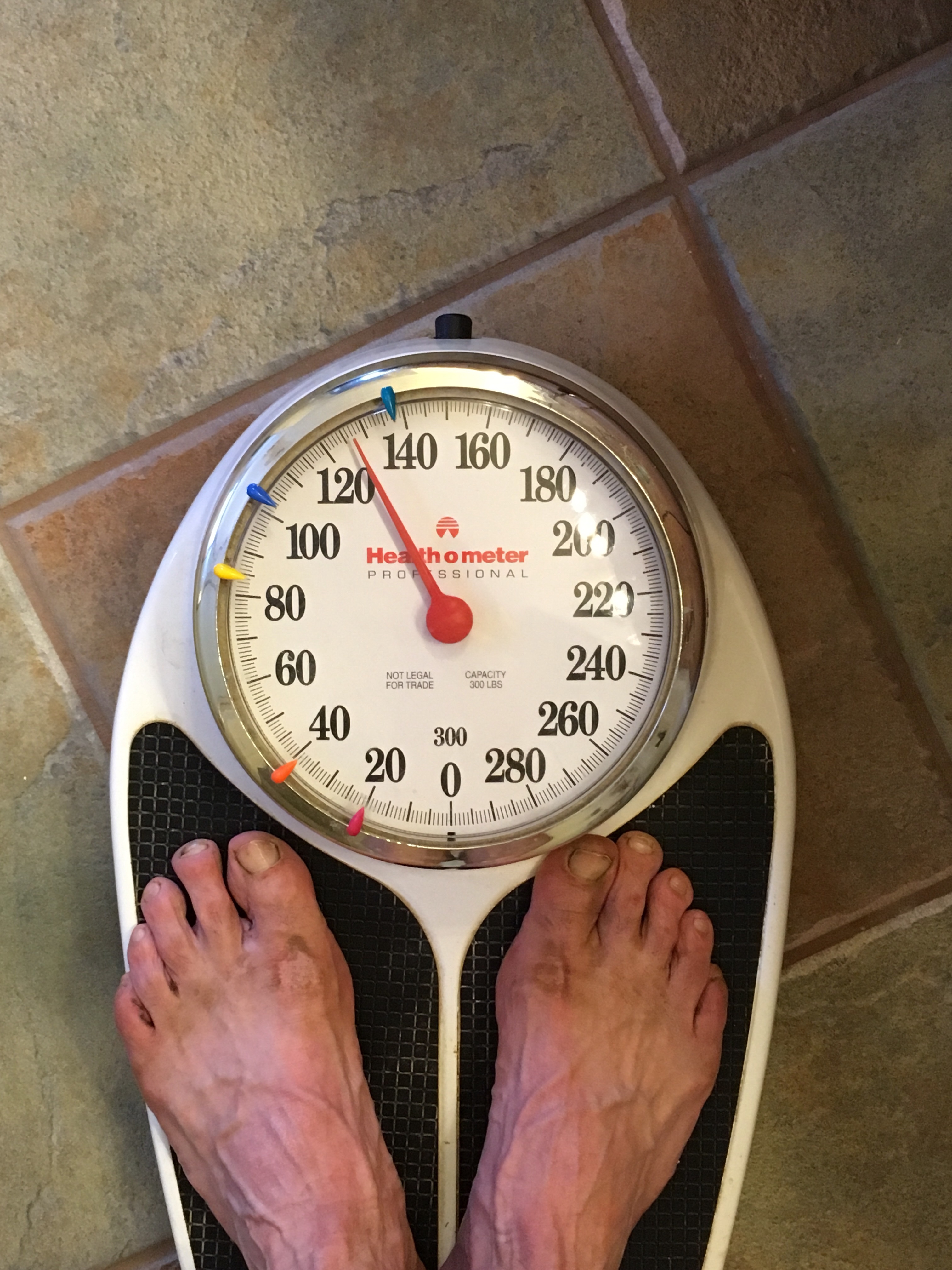
So it’s time to take a break and rest up/eat some good food.
Off the trail for a bit of R&R,
Junco
As I neared Flagstaff on Monday, I was hiking along Anderson Mesa and passed by an astronomical Observatory that is a remote site associated with Flagstaff’s Lowell Observatory. Here I met Ralph Nye

Ralph is a mechanical engineer who builds telescopes and refurbishes and repairs old ones. He has worked for the observatory for 42 years. He offered to take me for an observatory tour when I get to Flagstaff. He was incredibly passionate about astronomy, old telescopes, and photography – can’t wait to visit him…
The Mesa rises above Walnut Creek which, through a couple of dams, is converted into upper and lower Lake Mary, serving the water and recreational needs of Flagstaff. Both lakes are full this year due to the wet winter

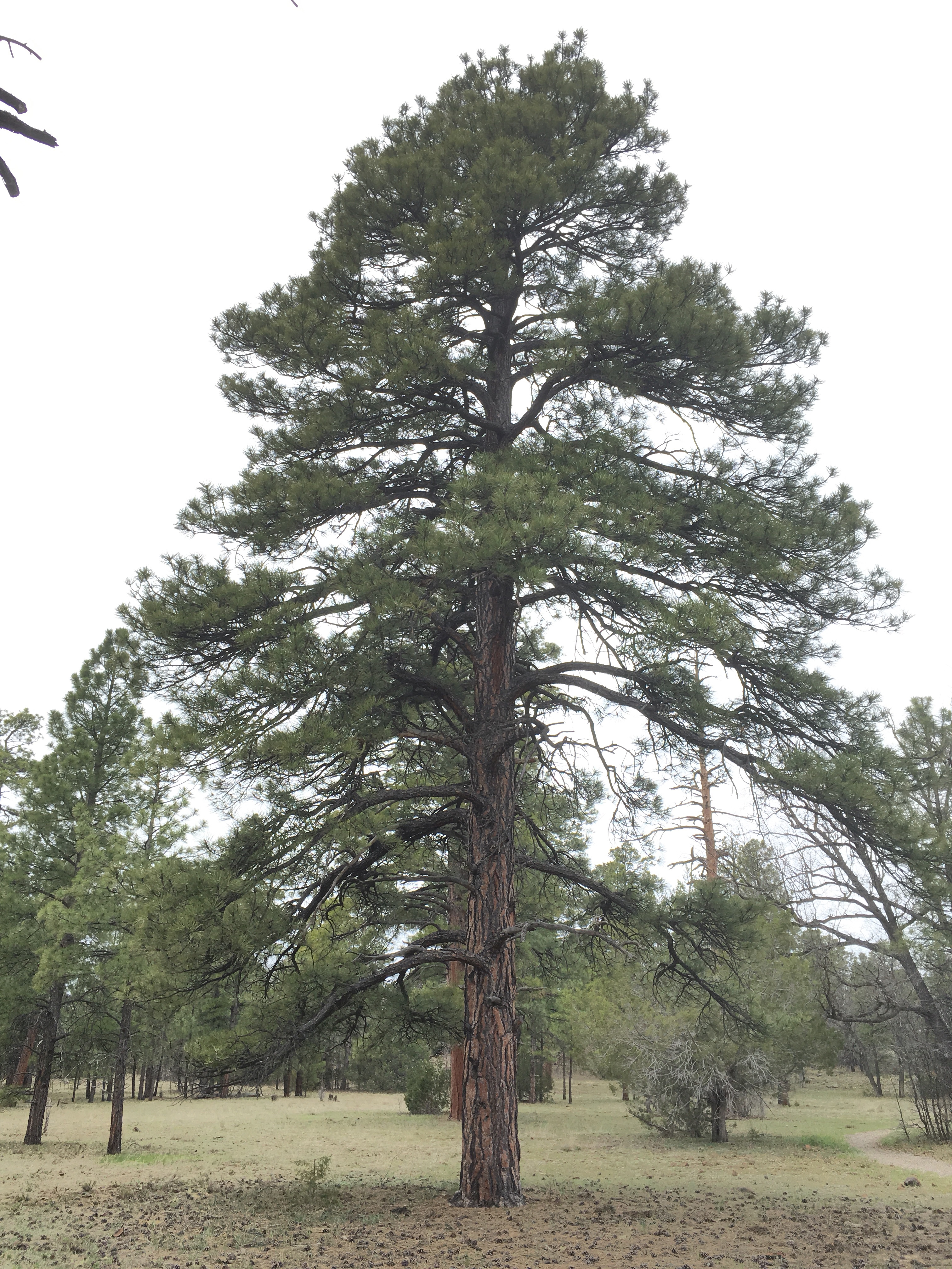
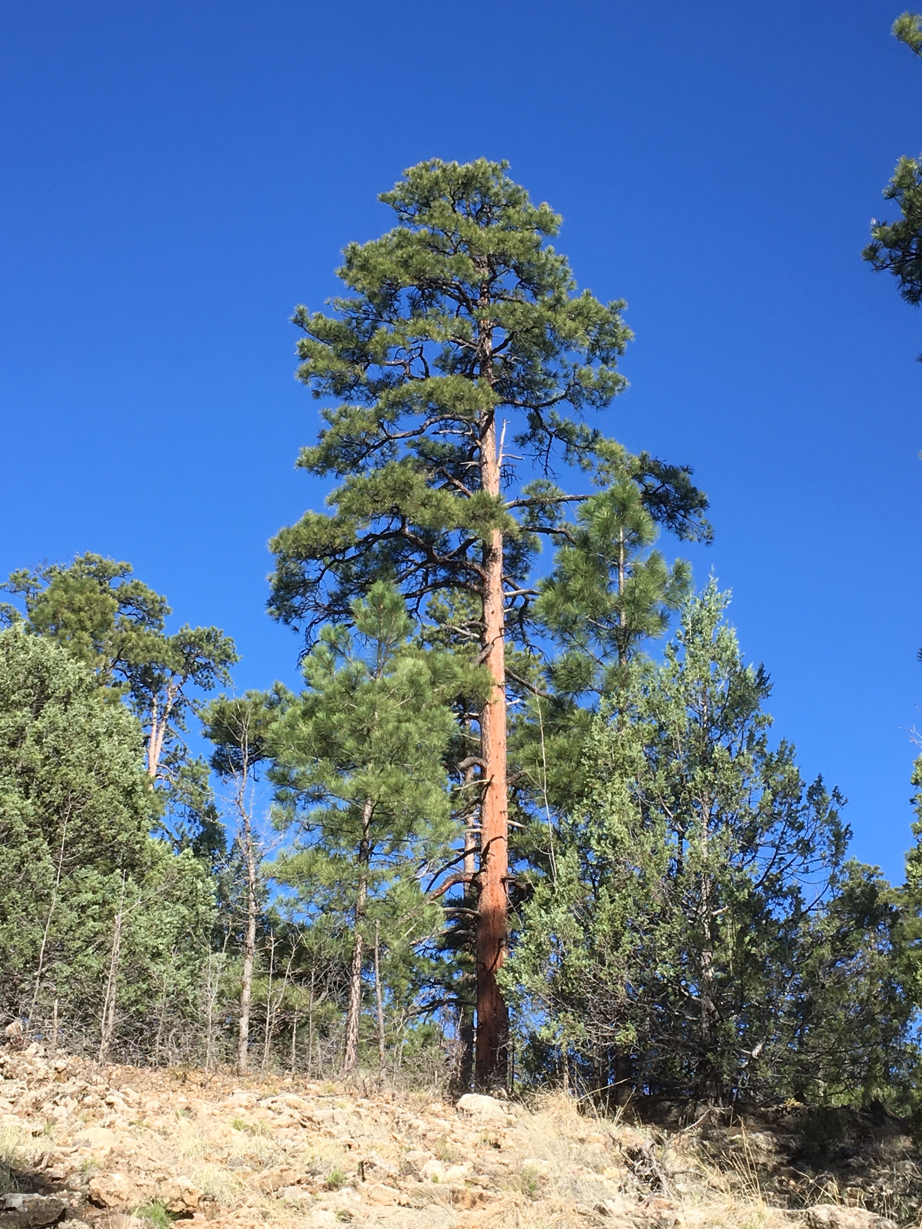
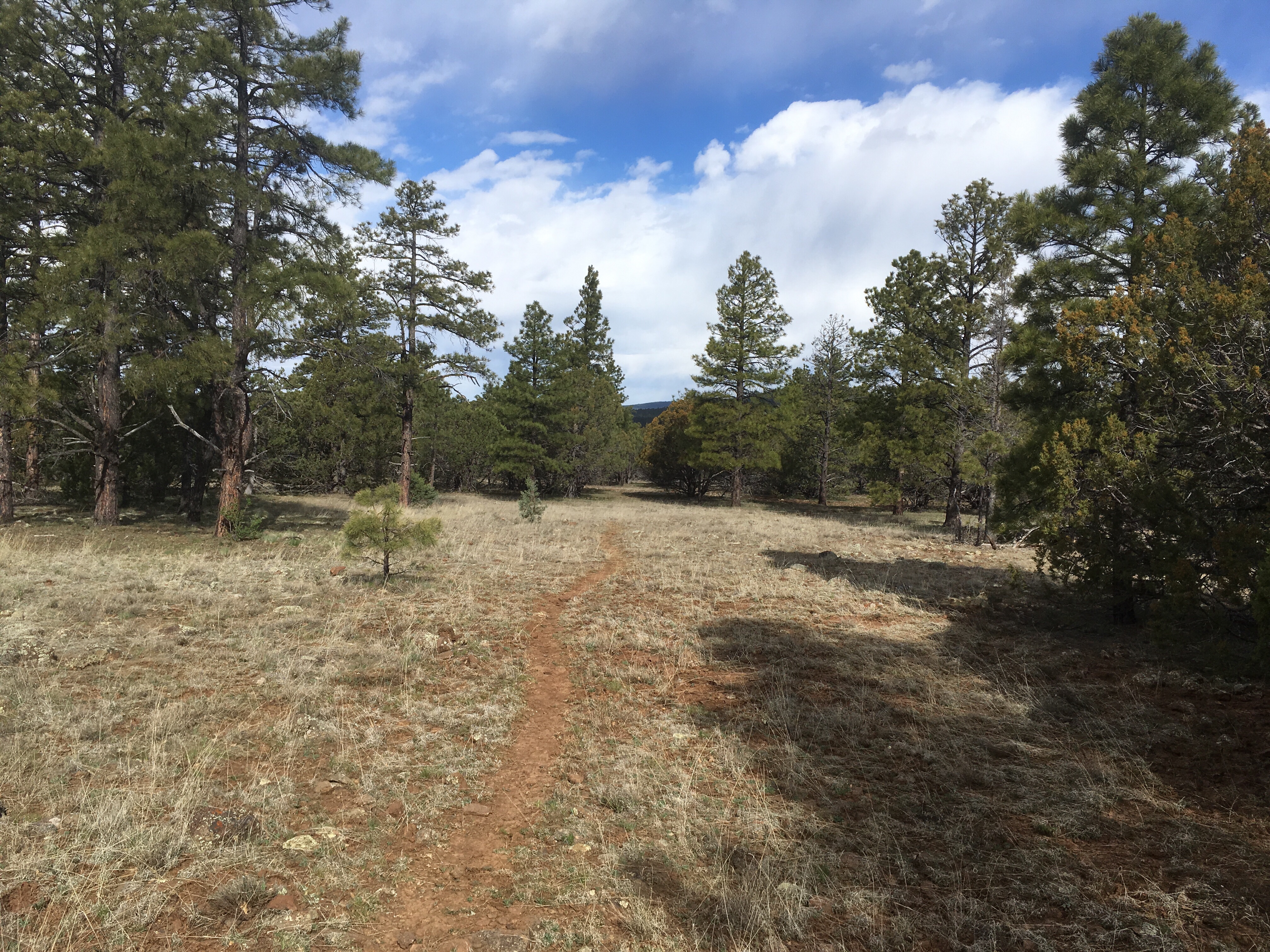
The Mesa top is generally flat with some beautiful ponderosa pines
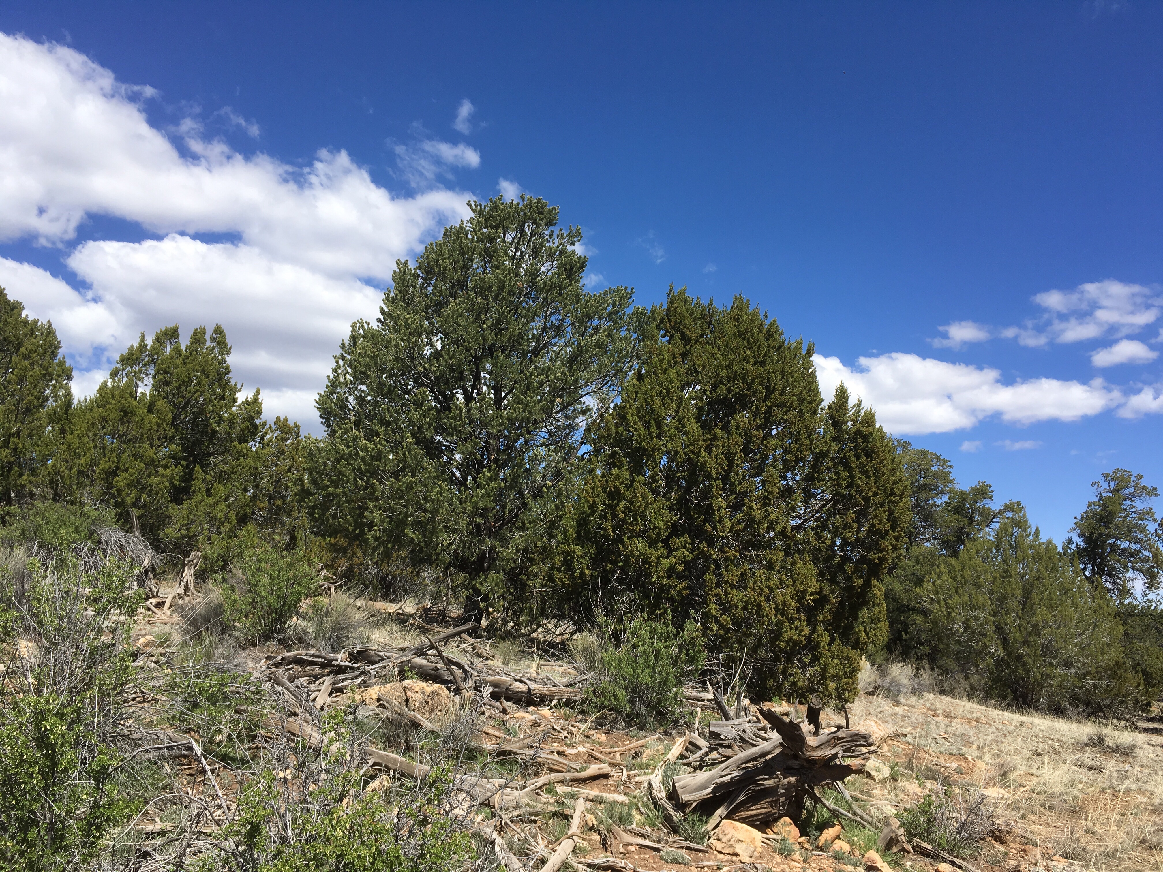
Some areas are a bit dryer and support a forest of piñon and juniper. The two trees in the center of this photo are a piñon on the left and a juniper on the right
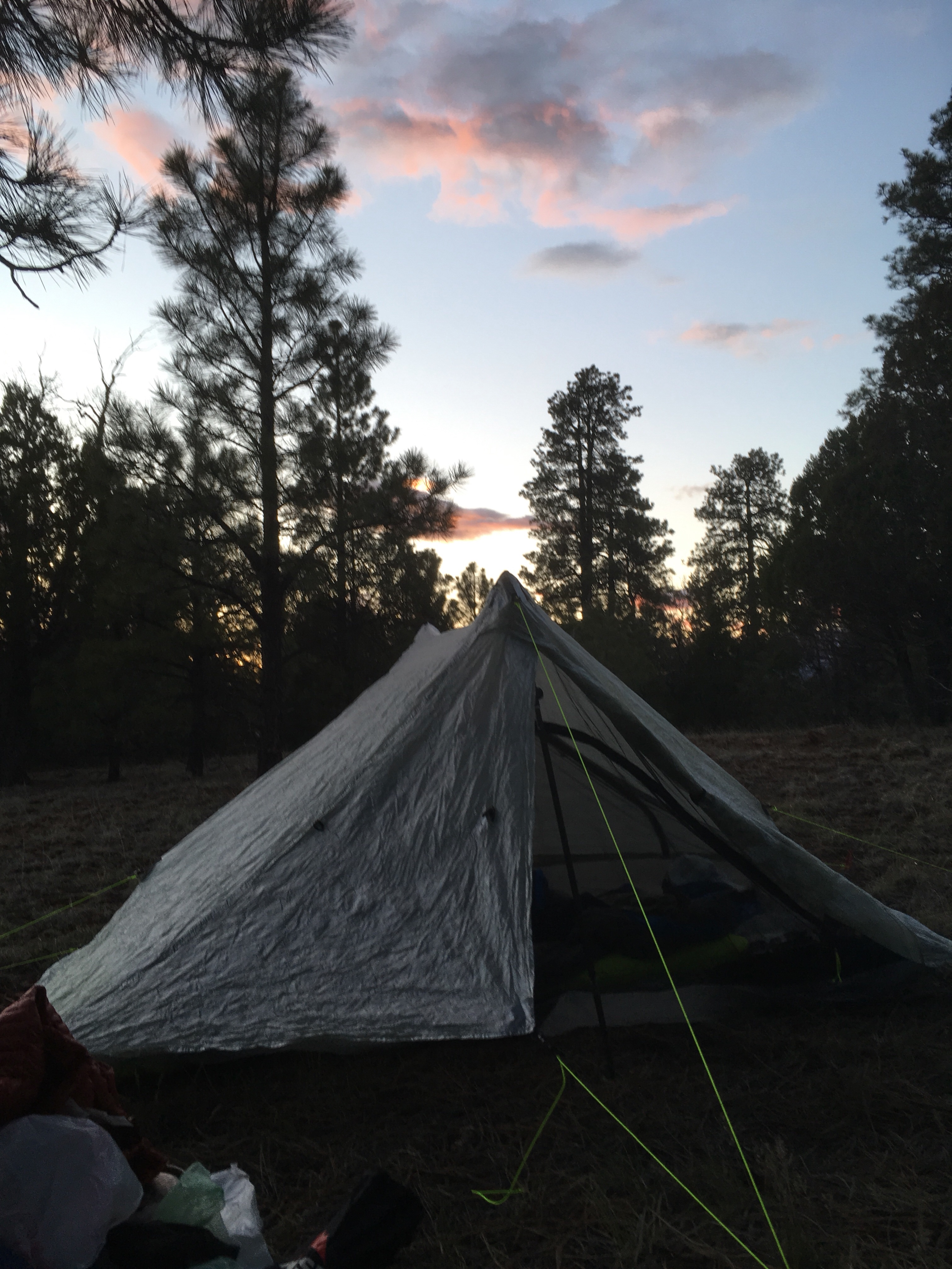
Last campsite before Flagstaff
A few more from Monday


Almost Home,
Junco
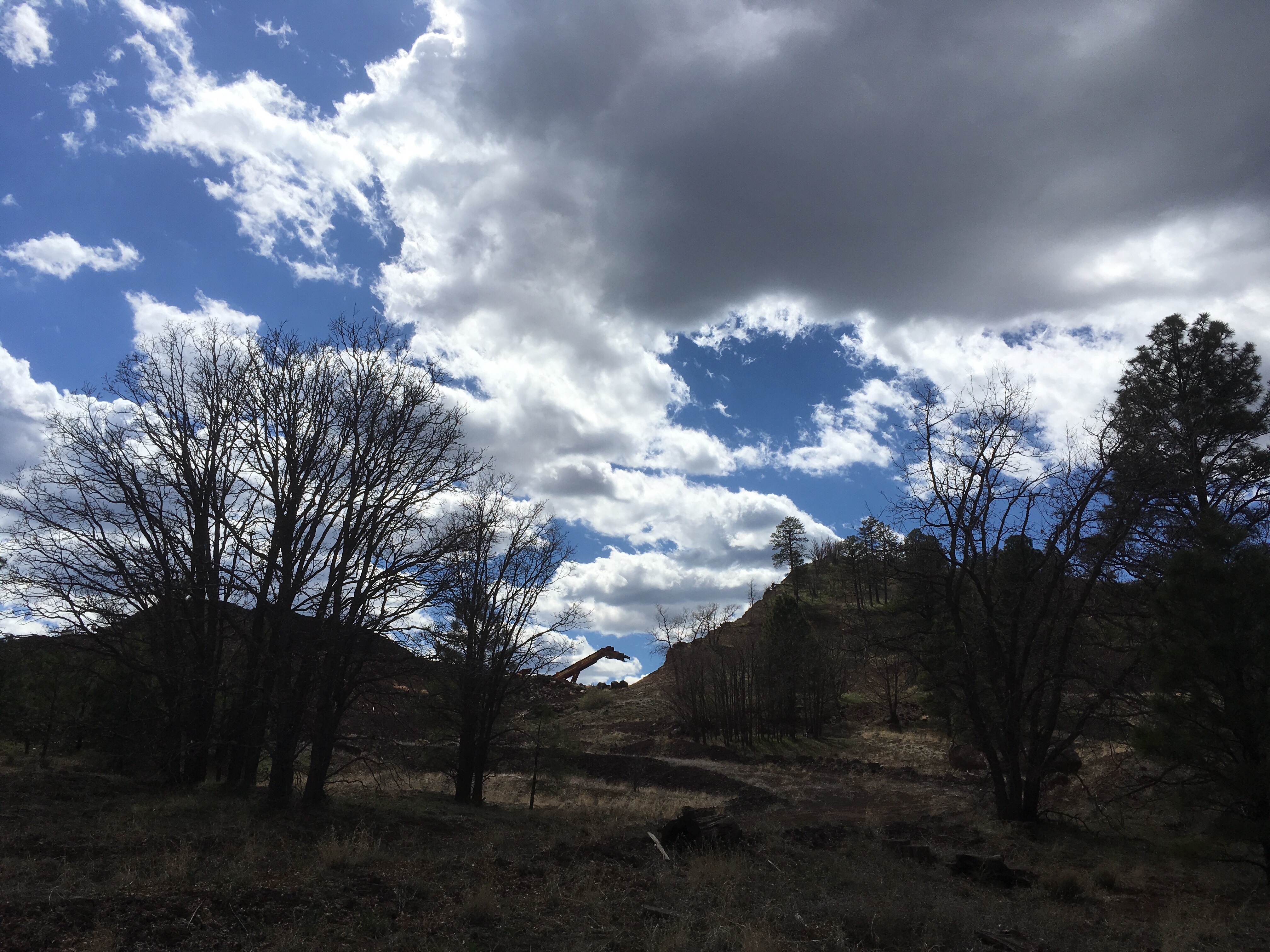
Hit this milestone this week

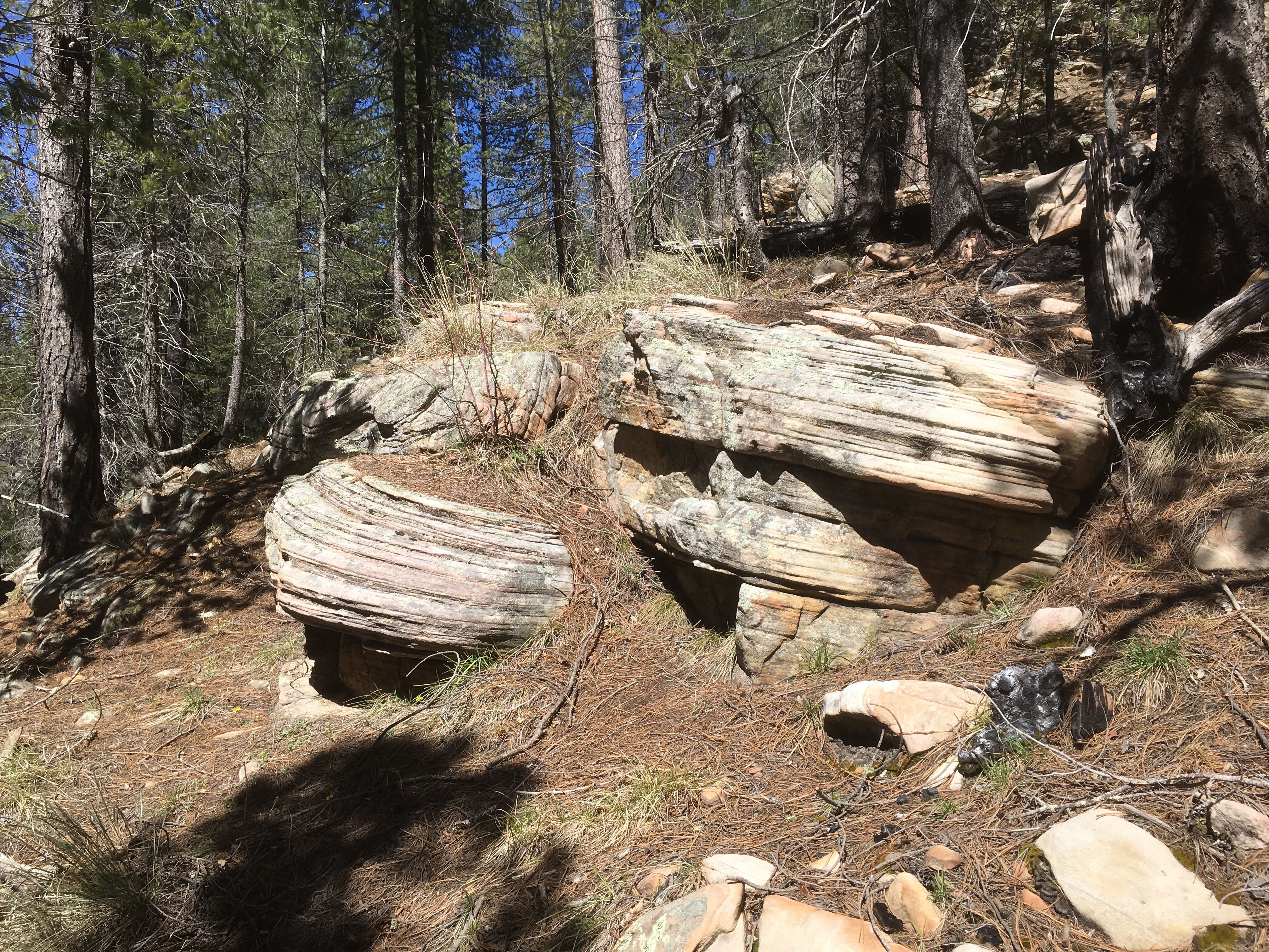
Learned a lot about the history of logging in this area.
Many parts of this remote forest were heavily logged in the early 20th century.
One challenge was that the area was so remote that it was hard to get the logs out – they built rail roads for that

The work involved in cutting down these trees and moving them is astounding


The remnants of the rail lines are often used for trails (like the AZT) or roads.

A few more from the last few days


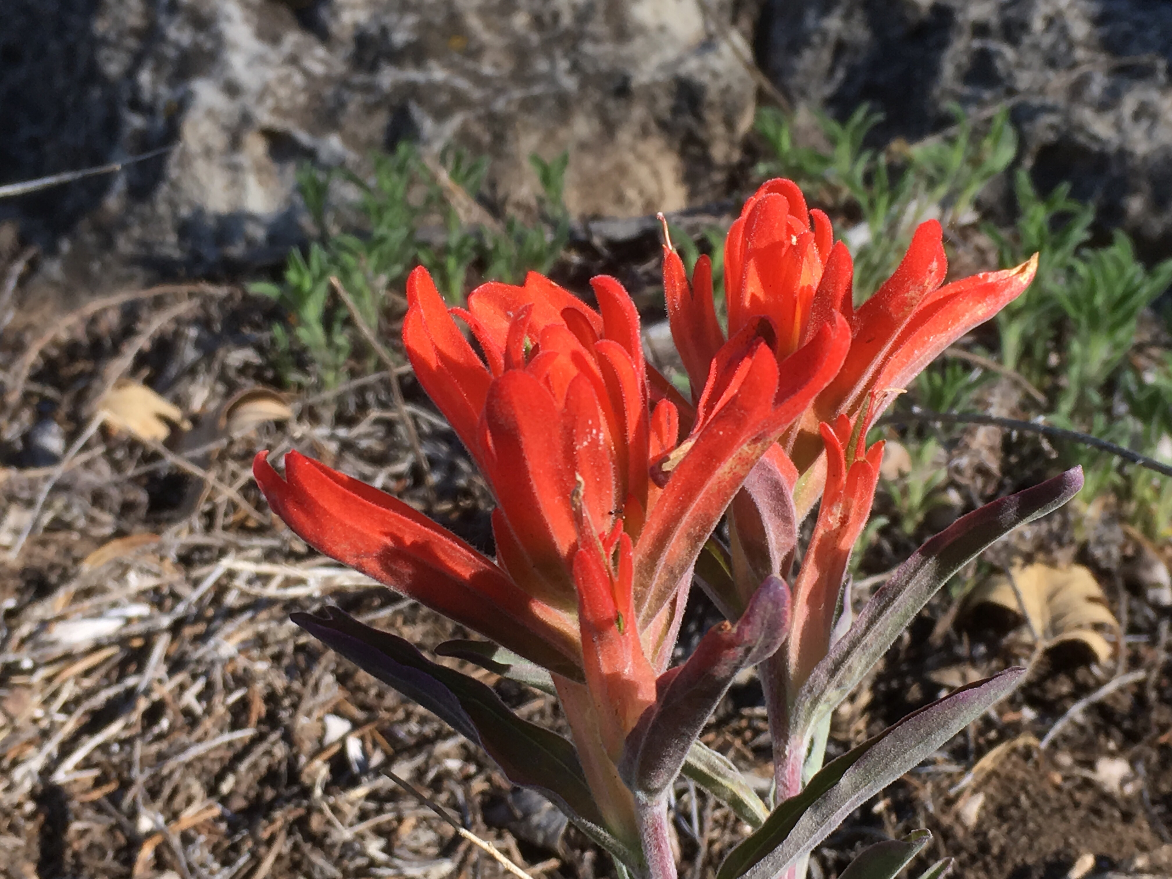
And a few flowers


Rolling along,
Junco
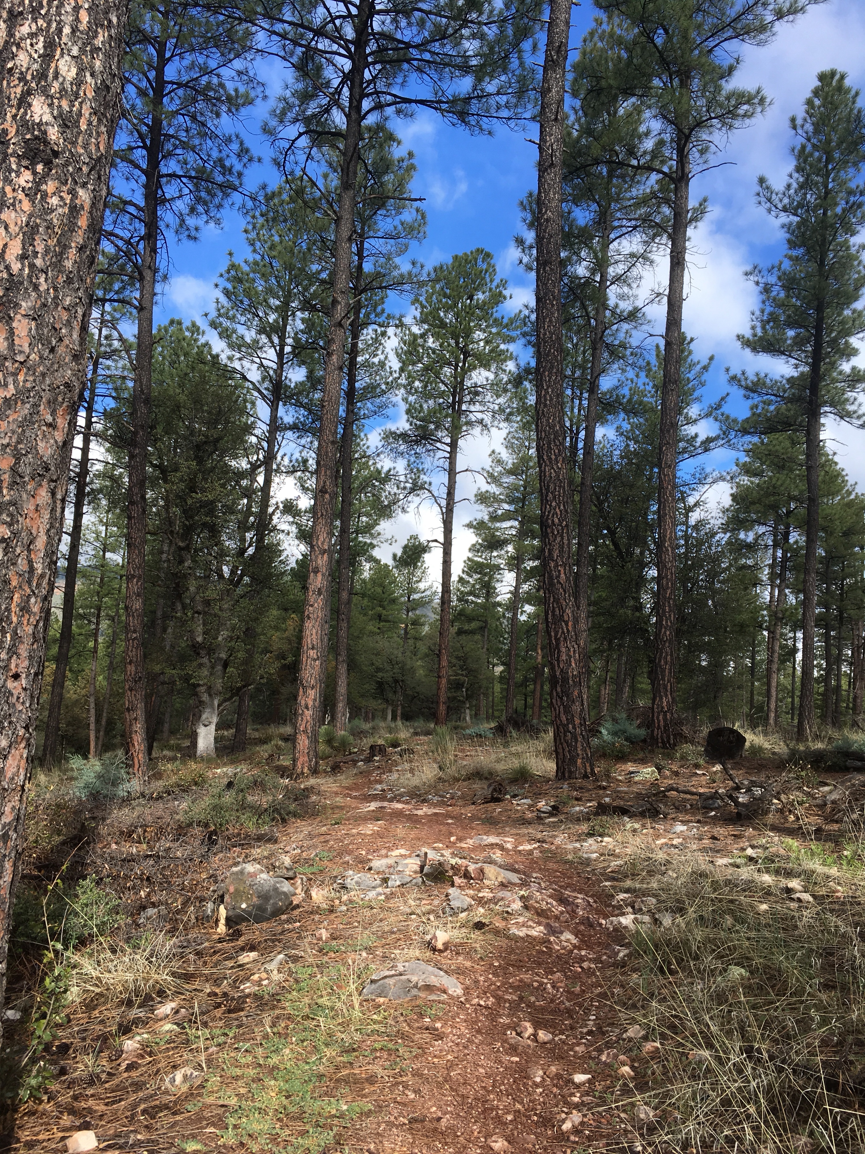
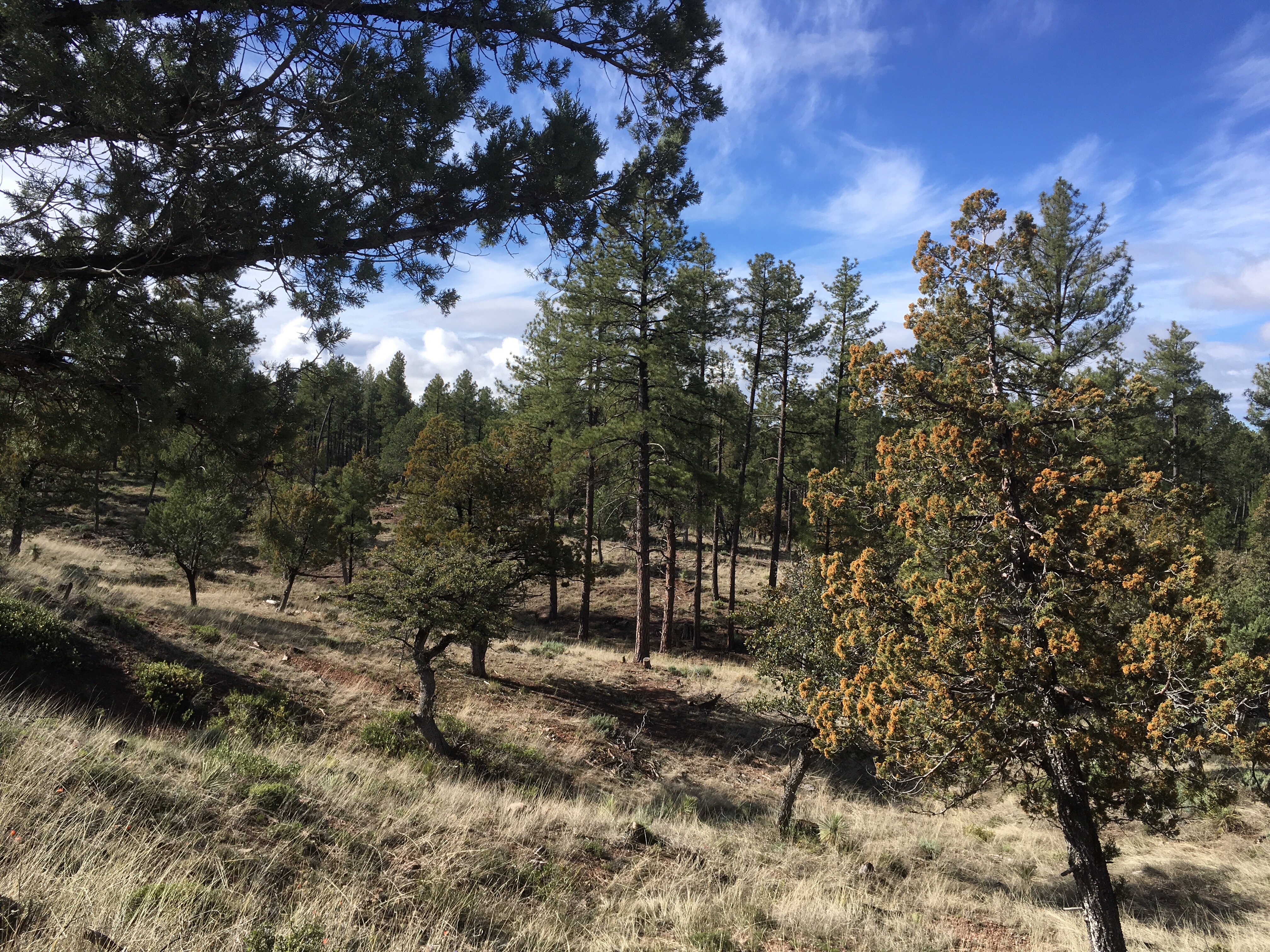
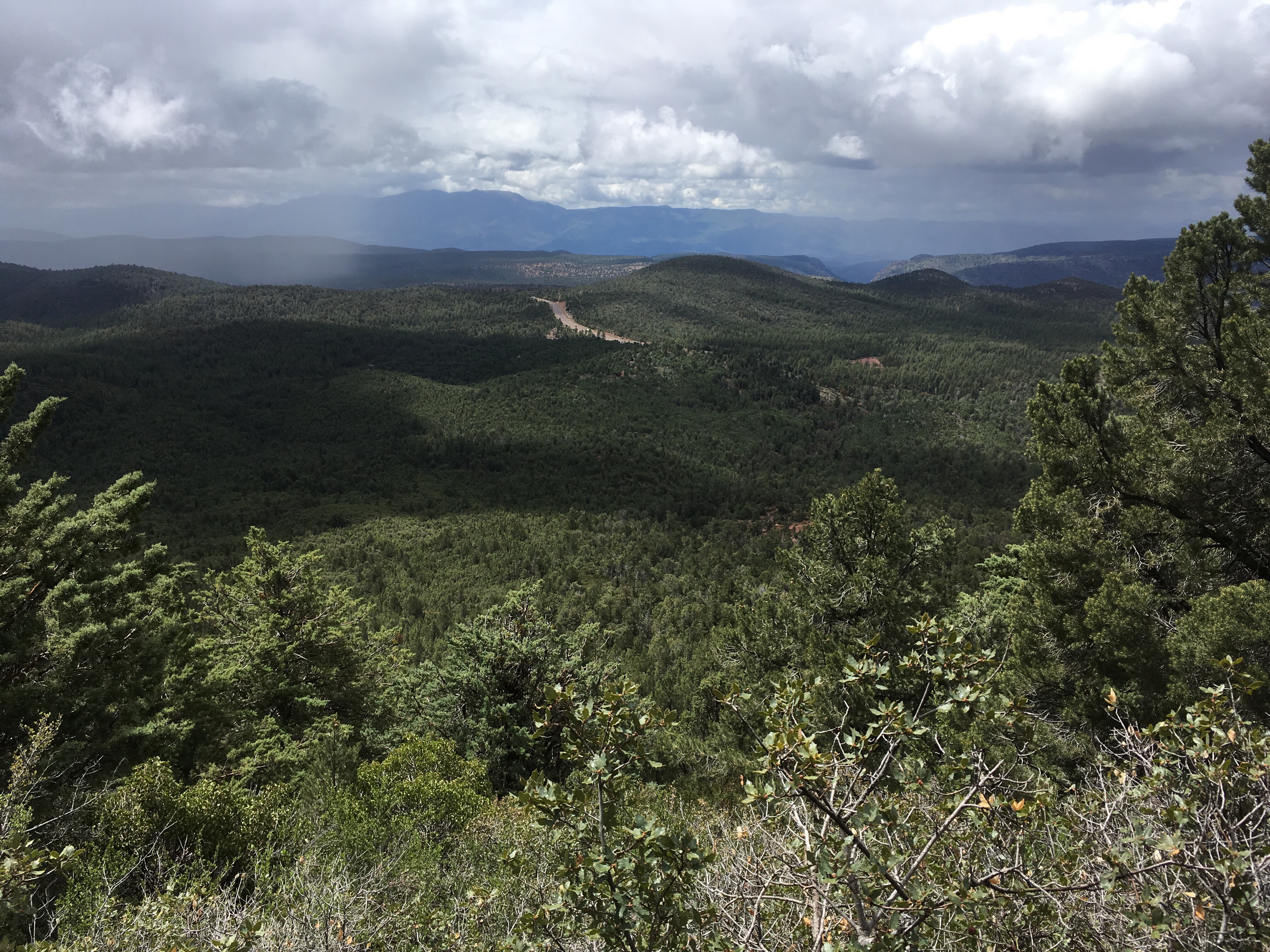
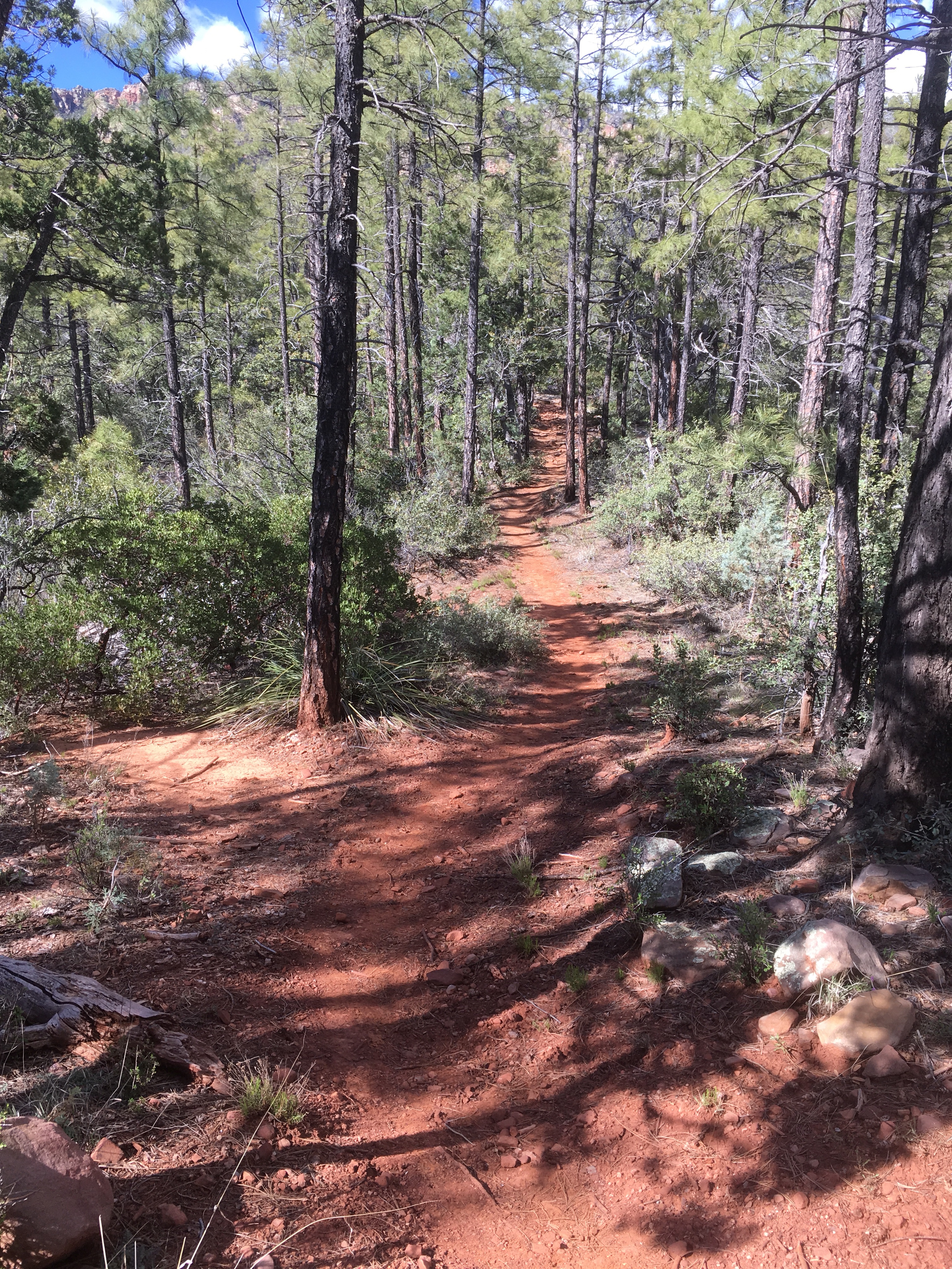
Once atop the Mogollon Rim, you walk along the Colorado Plateau which takes you to the Utah border.
It’s a high elevation, relatively flat region that covers northeastern Arizona. It is forested with piñon, juniper, ponderosa pine, fir, and spruce. And it’s rocky!!


And cold
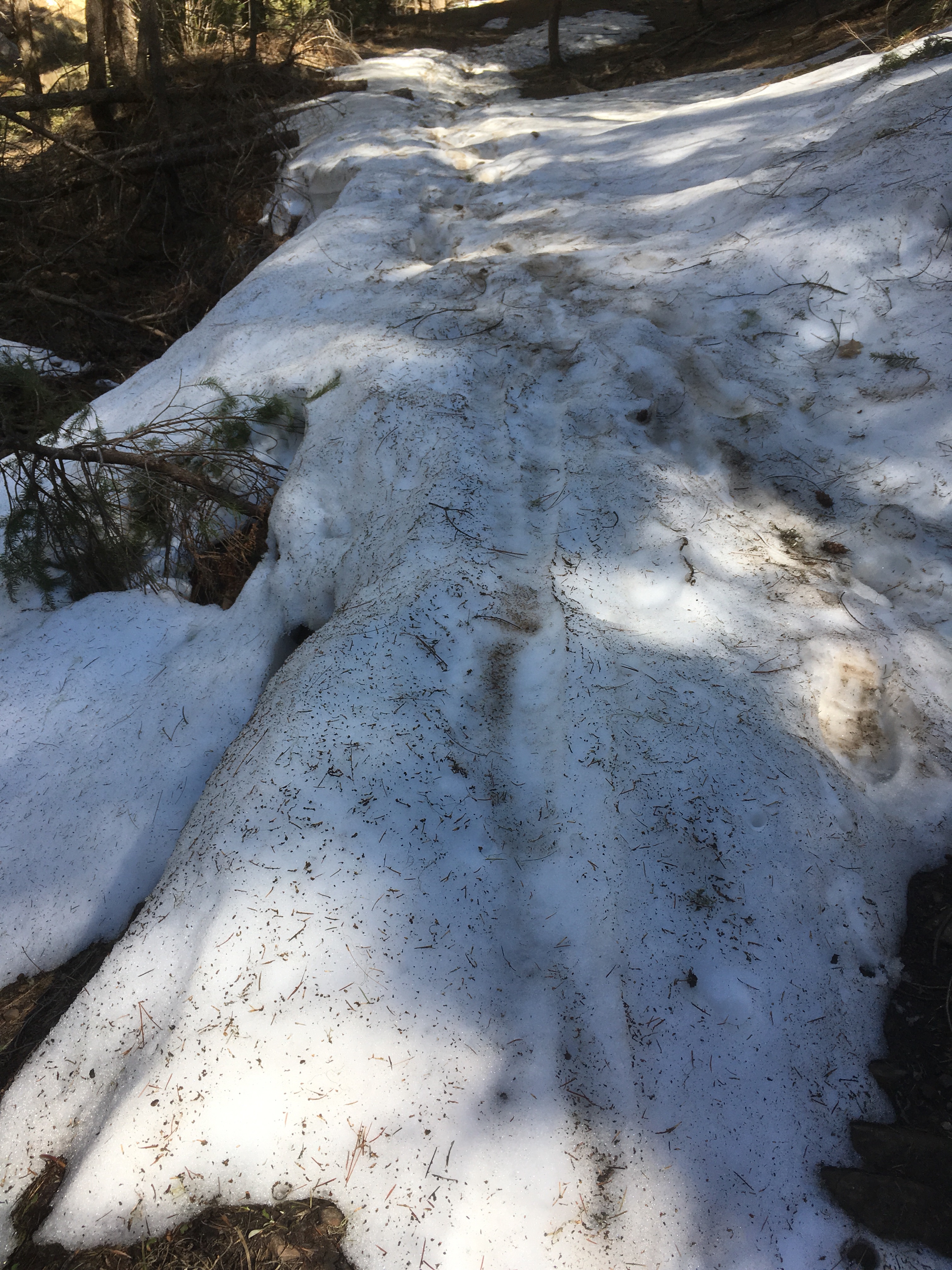
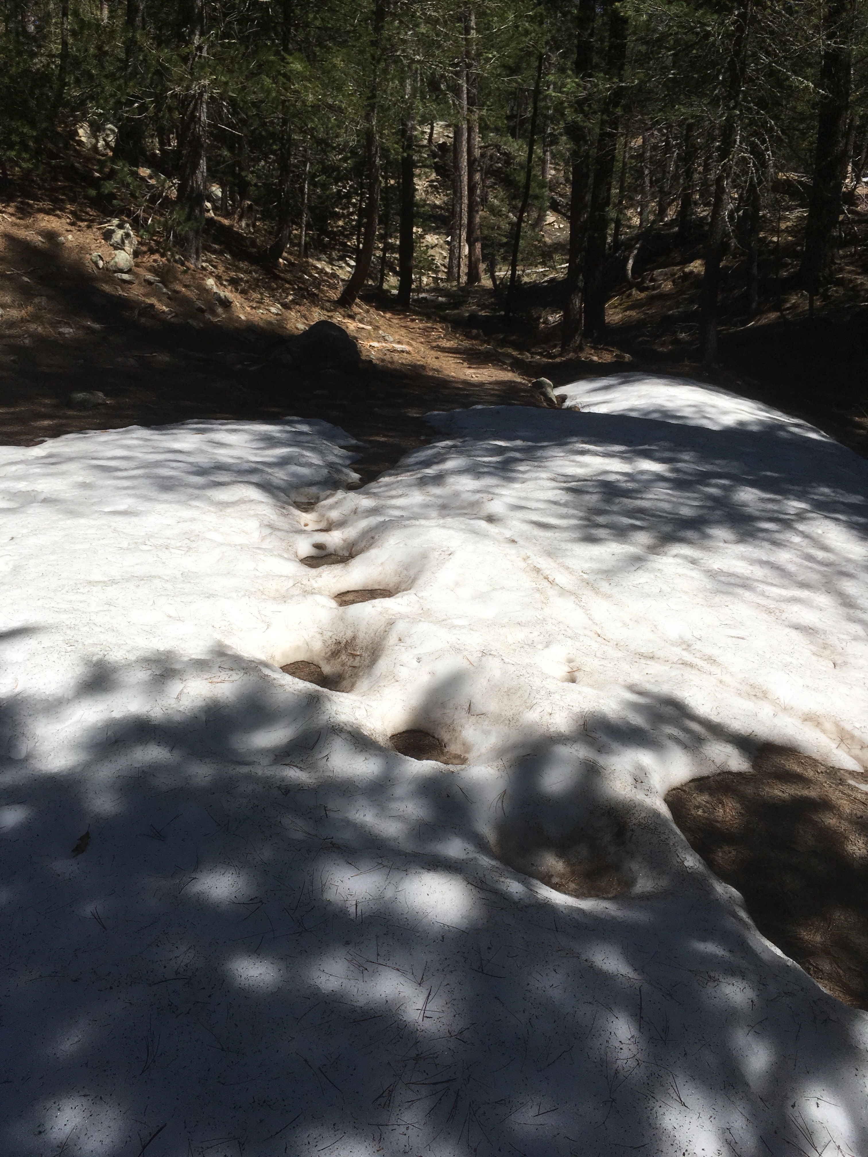
And there’s surface water

Still winter up here but quite a few beautiful things


Closing in on Flagstaff,
Junco
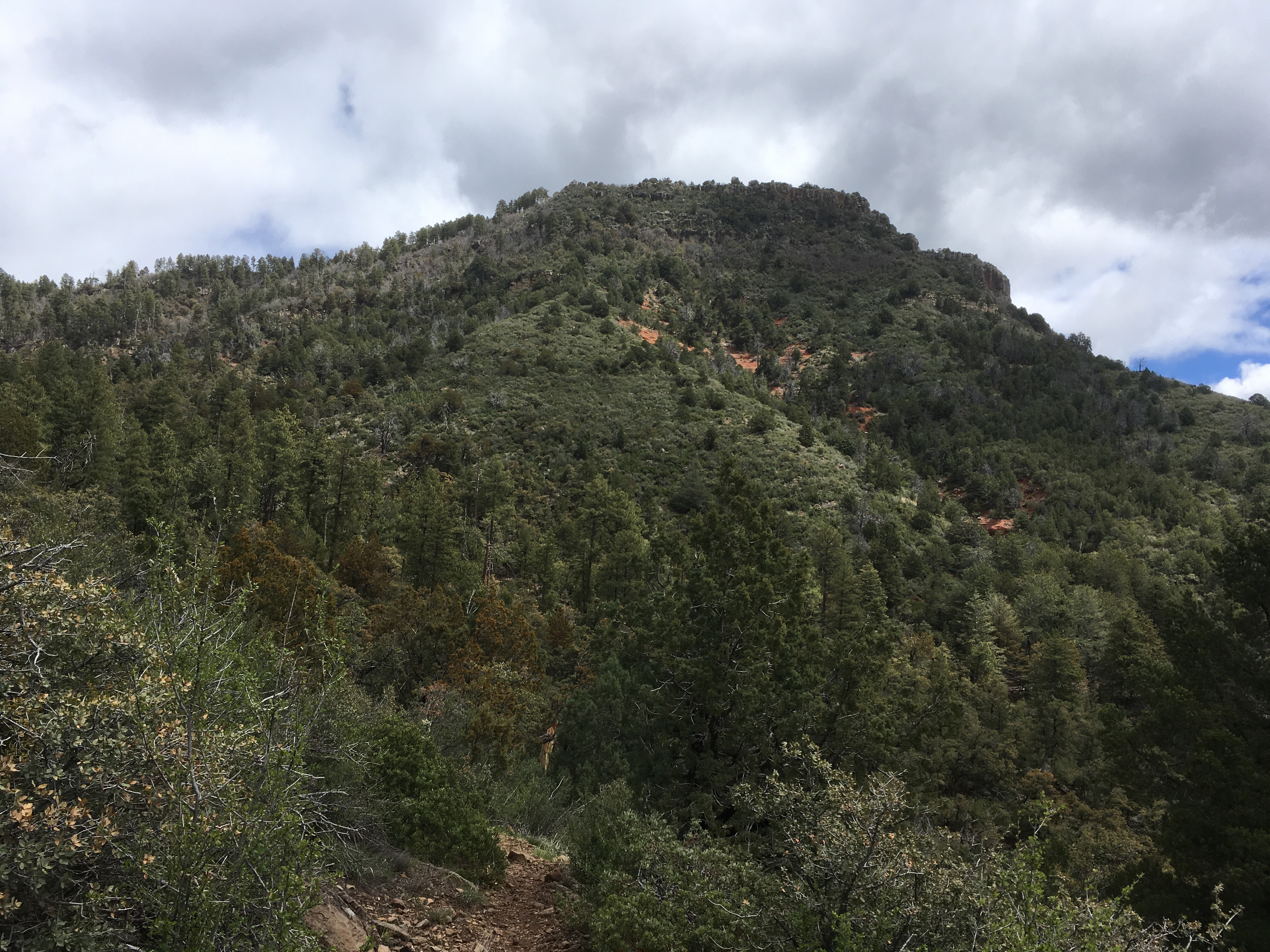
A name that is pronounced in several ways, one common way is “MUGGY-Aan”. It’s an imposing cliff that separates northern AZ from the warmer, dryer lowlands to the south

Ii
It’s composed of sedimentary rock layers with volcanic rock on top.

The layers are similar to the Grand Canyon and I spent most of the day hiking just below the Rim on the Highline trail in the Supai rock layer with the cliffs right above me

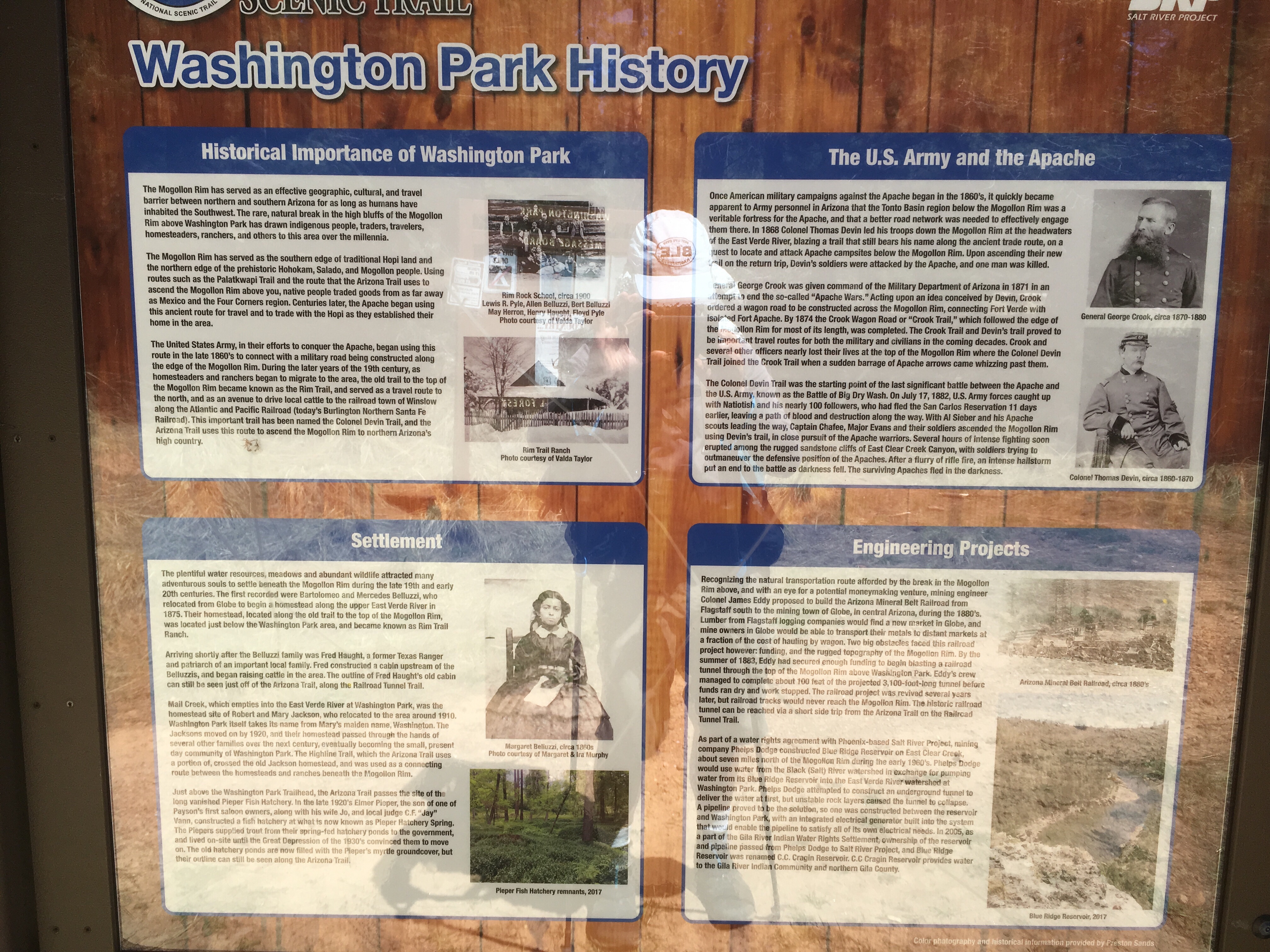
Then I arrived in Washington Park, which is an area where there is a break in the cliff and an ancient trail to the top (used by the Apaches and their pursuers in the 1860’s)
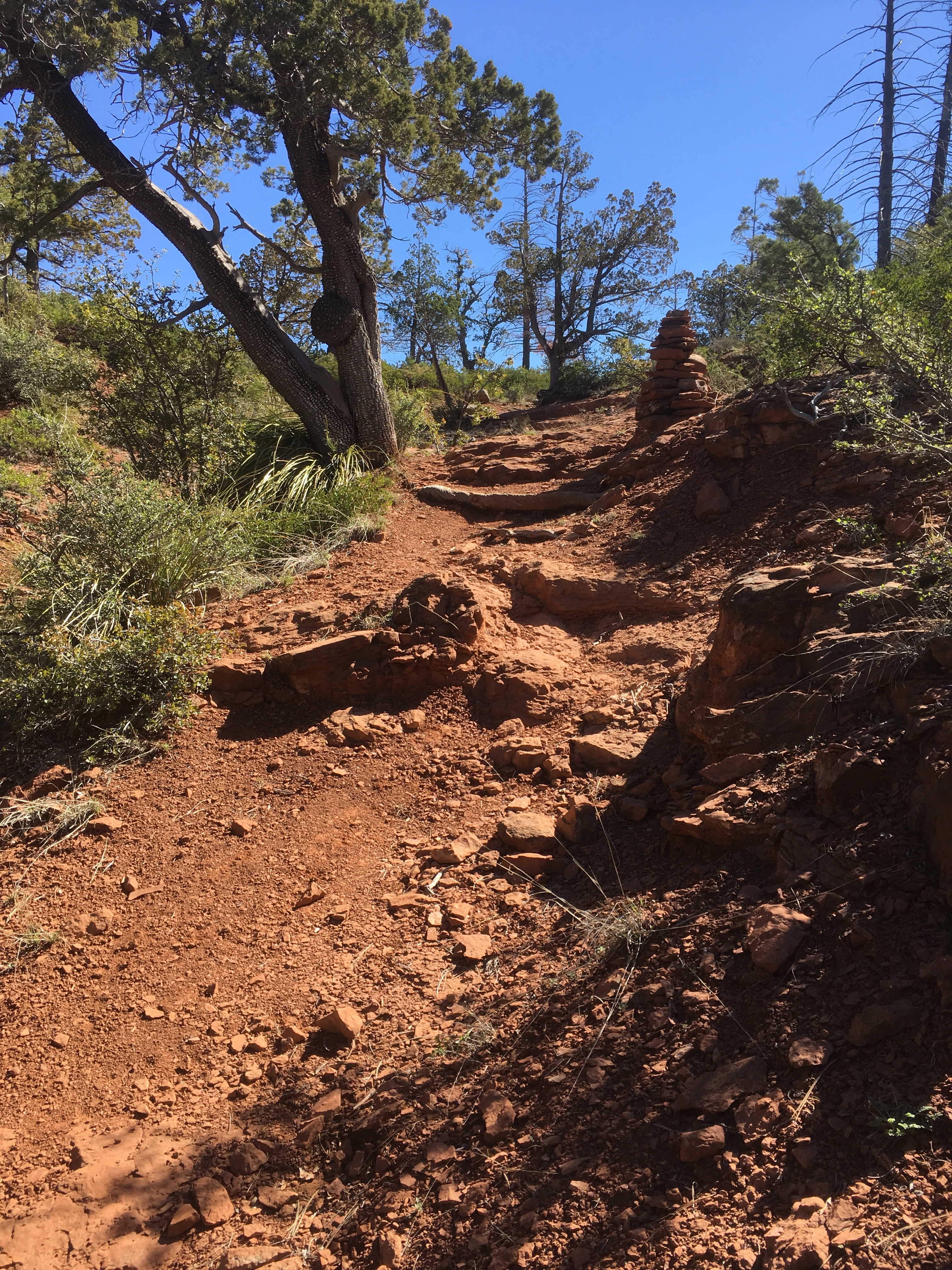

As I neared the top – 7400 feet, I got a taste of things to come

Uh, oh,
Junco
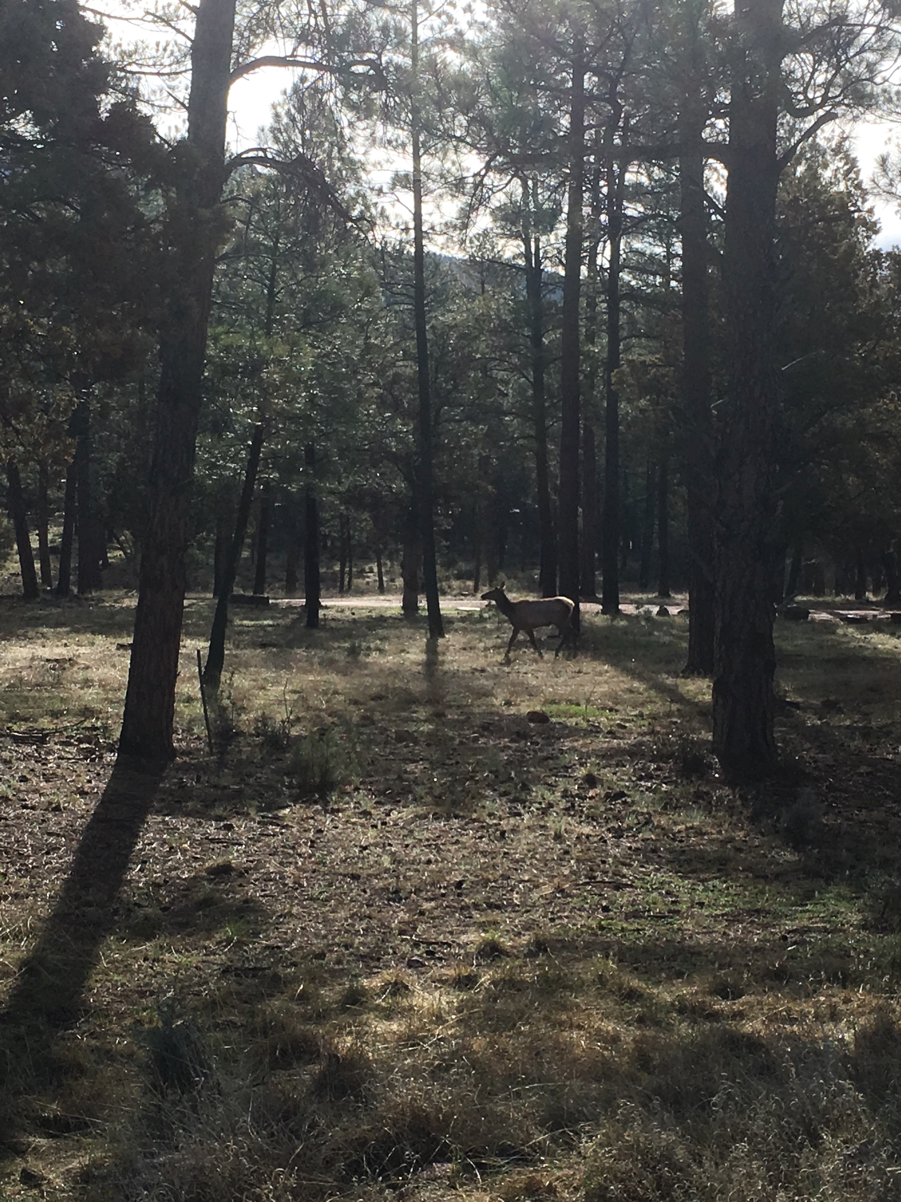
As I fattened up in Pine, I realized that I’d be climbing to a much higher elevation for the rest of the trip – no more hot, dry desert.
The area around Pine is quite beautiful


Got this photo of an elk
Weather turned bad but I was ready for it this time

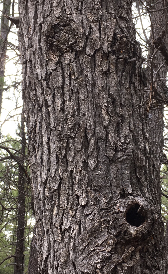
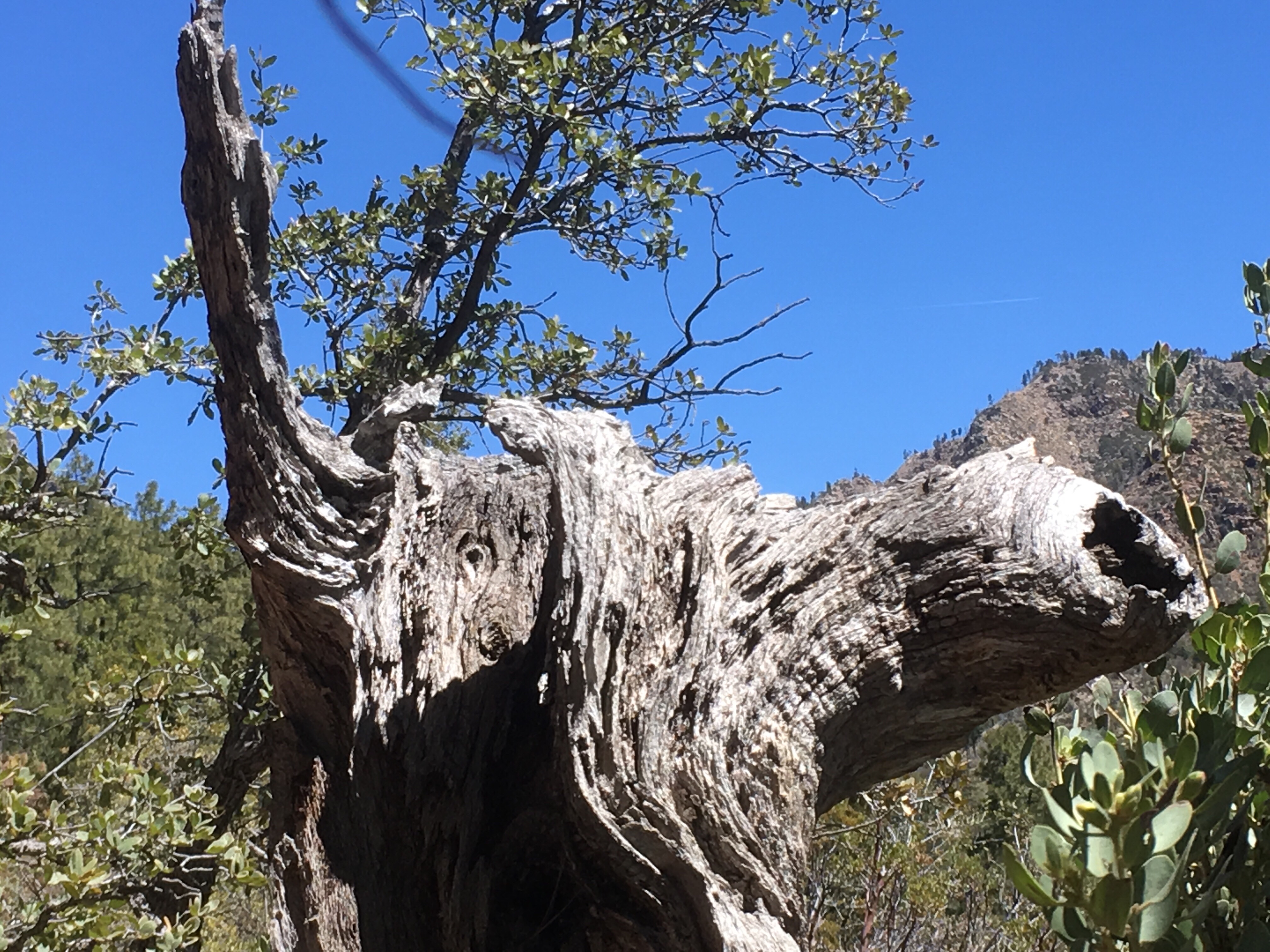
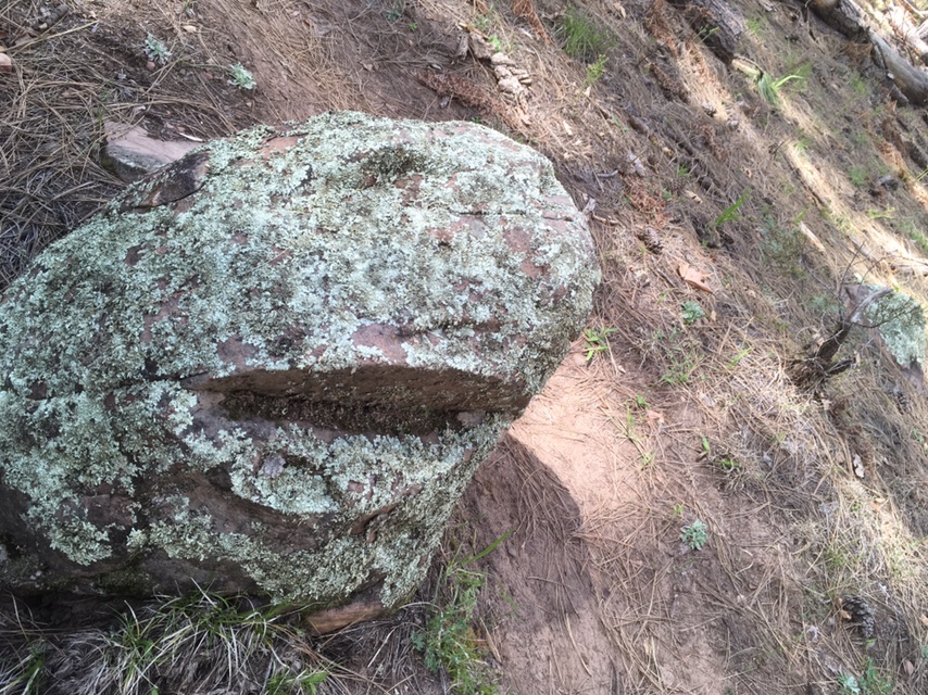
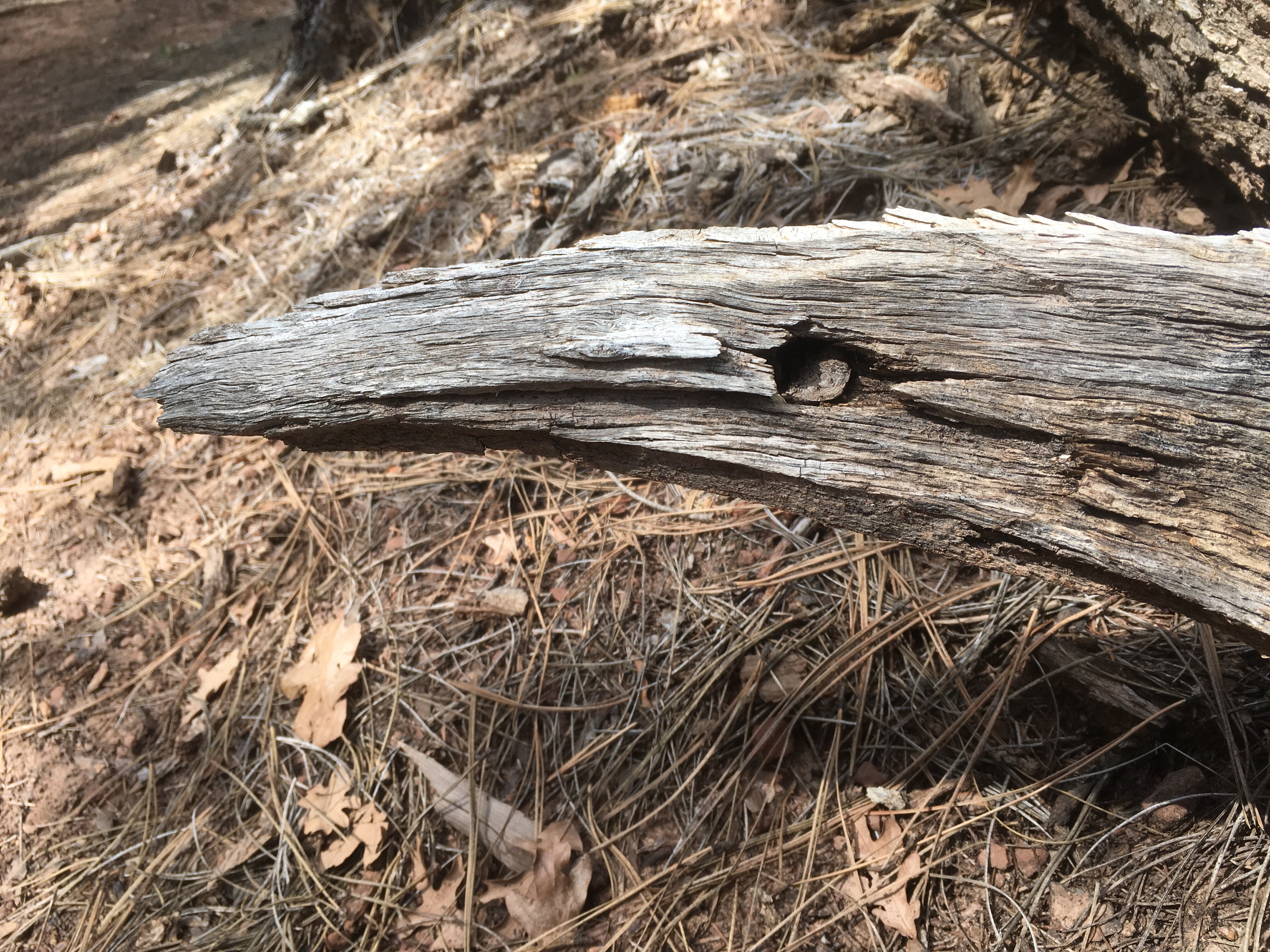
Some interesting forms


A few more from today


A nice full livestock tank – this would be a primo water source

Heading up to northern AZ,
Junco
I’ve entered a very remote part of Arizona with poor telecom and no ability to upload photos.
All is going well and I’ll post some better stuff when I get near a town.
Up on the Colorado Plateau,
Junco
